
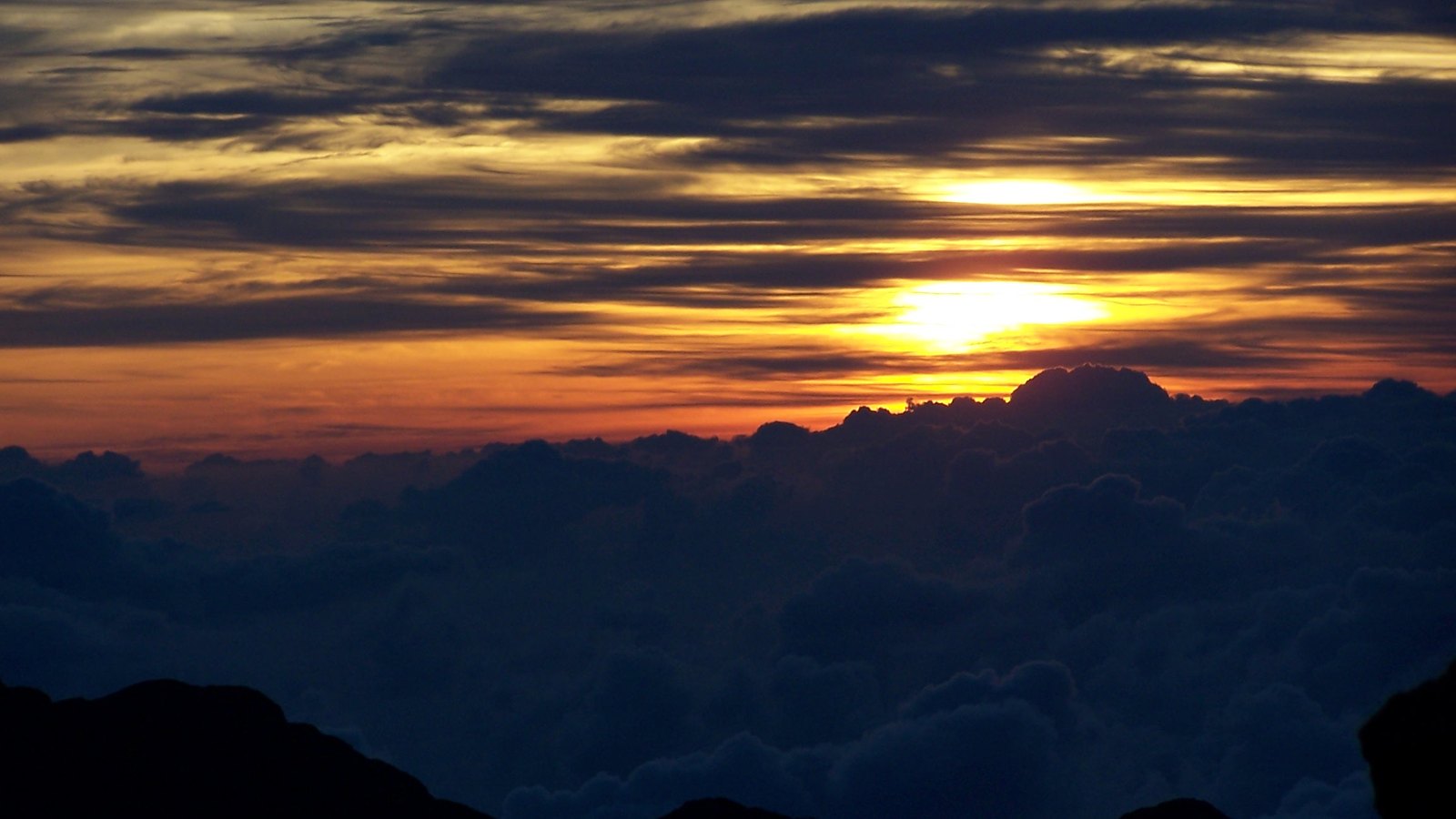
Maui History Series · Haleakalā
Haleakalā National Park: A Sacred Mountain, a Modern Park
Long before the 1916 park designation, Haleakalā was—and remains—a living Native Hawaiian cultural landscape. The road, cabins, wartime occupation, research, restoration, and reservation systems came later.
Follow the mountain through timePhoto: National Park Service source (opens in a new tab) · public domain U.S. federal work license (opens in a new tab) · cropped and resized
Living mountain · changing boundary
Haleakalā did not become meaningful in 1916
For kānaka maoli, the summit is a wahi pana, a storied place, and part of wao akua. National Park Service sources describe continuing connections through ceremony, navigation, star knowledge, travel, resource gathering, and relationships linking summit, watershed, community, and ocean.
The modern park later layered a federal boundary, highway, rustic cabins, wartime occupation, visitor infrastructure, scientific work, and ecosystem restoration over that cultural landscape. Its dry summit and wet Kīpahulu coast are parts of the same mountain, reached today by separate roads.
Before the federal boundary
A cultural landscape from summit to sea
Archaeology documents centuries of Hawaiian use, but those dates are a current evidentiary floor—not the beginning of Hawaiian knowledge or connection.
A storied summit, not an empty wilderness
At Pōhaku Pālaha, the traditional moku of East Maui converge at a piko—a center within a system connecting summit, watersheds, communities, and ocean. NPS sources describe Hawaiian pilgrimage, ceremony, spiritual training, navigation, star study, adze-stone working, gathering, and travel across East Maui.
These are living relationships rather than a closed “ancient history.” The page therefore does not map sensitive cultural sites, publish directions to quarry or burial places, or treat Hawaiian practice as visitor spectacle.
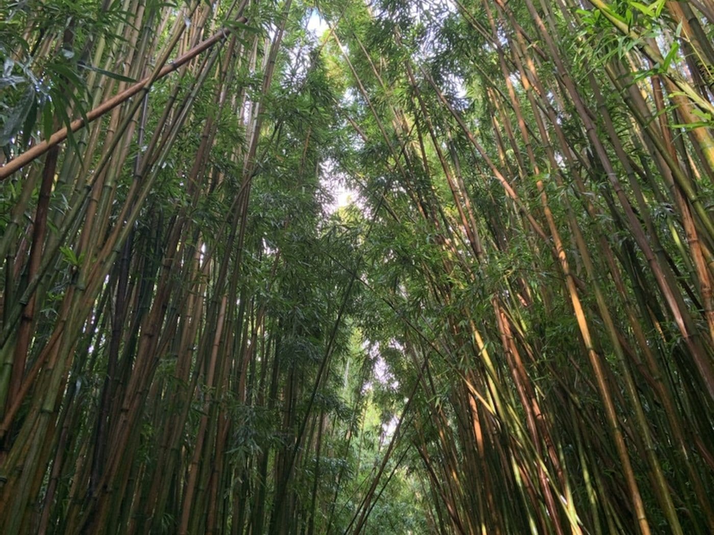
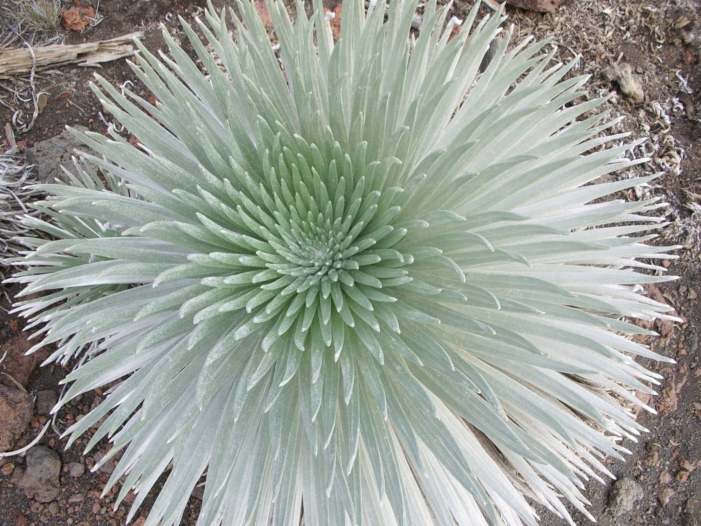
One mountain, several environments
The familiar word “crater” is convenient but incomplete. Haleakalā’s immense summit depression was shaped by erosion together with later volcanic vents and lava flows; it is not the product of one explosive eruption.
The dry summit, rain-fed windward forests, and Kīpahulu coast belong to one mountain. Modern visitors, however, reach the Summit and Kīpahulu districts by separate roads, with no direct visitor road crossing between them.
A park begins inside a larger national park
On August 1, 1916, Congress created Hawaiʻi National Park by combining Haleakalā lands on Maui with Kīlauea and Mauna Loa lands on Hawaiʻi Island. The National Park Service itself was established later that month.
Haleakalā Ranch transferred the lands now forming much of the Summit District to the federal government in a 1928 exchange. That administrative milestone changed ownership and management; it did not create the mountain’s cultural meaning.
-
c. 660–1030
Current archaeological floor in the depression
NPS reports this calibrated date range for early documented Hawaiian use; it is not a beginning date for knowledge or relationship.
-
c. 1164–1384
Early documented Kīpahulu use
Current archaeology records long Hawaiian use of lands now within the coastal district.
-
1890s–1894
Summit tourism becomes established
Visitors travel by trail or horse; Maui business leaders build a Kalahaku rest house.
-
1916
Haleakalā enters Hawaiʻi National Park
Congress creates a combined two-island national park.
-
1928
Summit land transfers
A ranch-federal exchange helps define the modern Summit District land base.
-
1933–35
The park highway is built
A 10.677-mile park road stages the mountain view for automobile visitors.
Road, cabins, war and restoration
Visitor access grows while stewardship changes course
CCC labor, wartime occupation, Mission 66, ecosystem restoration, and summit-to-sea protection each changed what a national park did here.
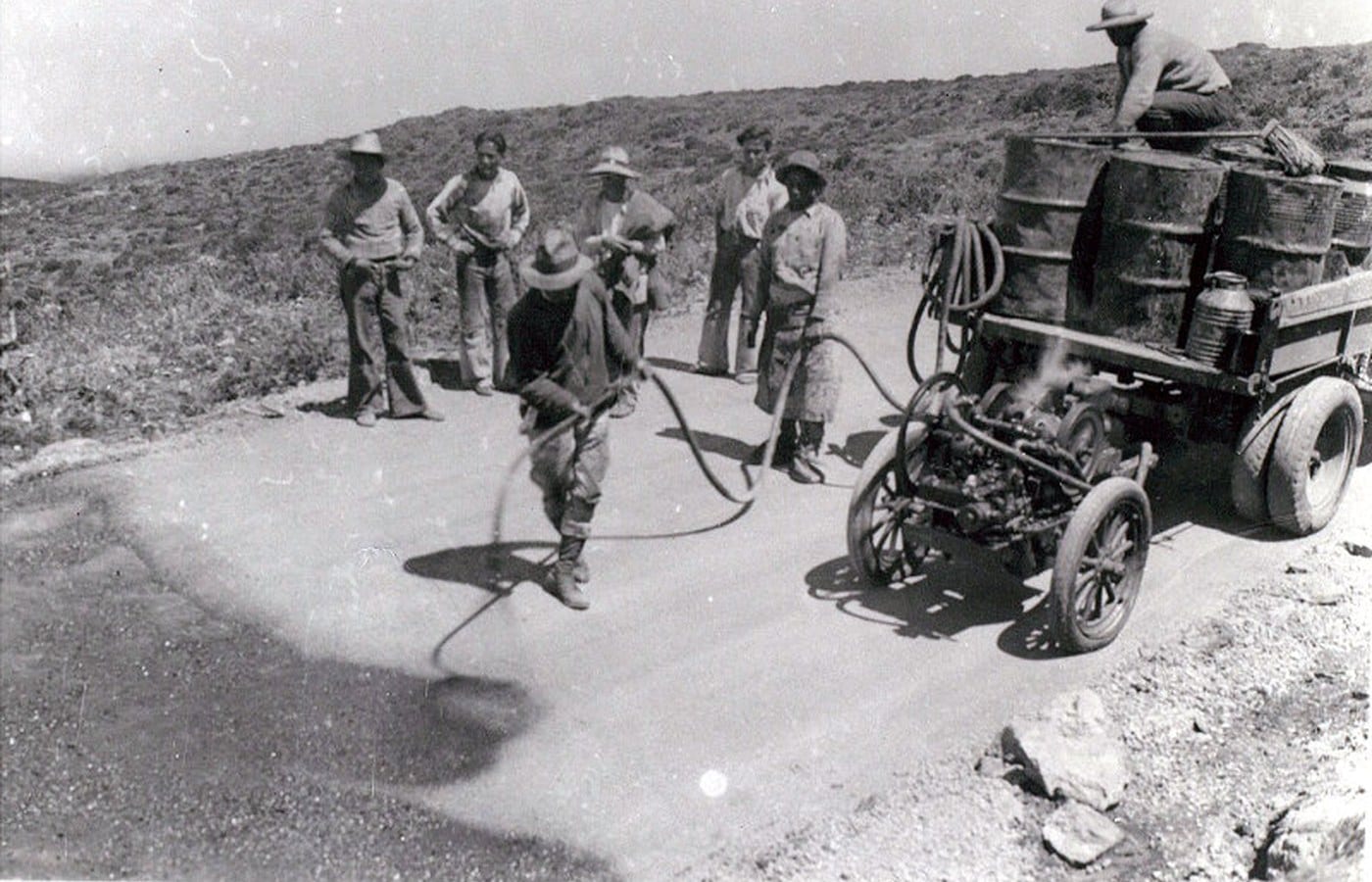
A road designed as a reveal
The 1933–35 highway deliberately withheld the great summit depression from view until the journey’s end. Its February 23, 1935 opening drew 1,639 people and 320 cars. NPS history records celebration of economic opportunity alongside Hawaiian opposition to cutting a road across sacred Haleakalā.
CCC crews improved Halemauʻu, Keoneheʻeheʻe, and other trails, supported conservation work, and transported materials for facilities. The summit visitor center was completed in 1936; three backcountry cabins followed in 1937.
War and a separate national park
The U.S. Army used Haleakalā beginning in 1941, and the park closed to the public from 1941 through 1943. Puʻu Nianiau base-camp land returned to NPS in 1946, while military use at Red Hill continued until its 1948 return. That summit history should not be conflated with a claim that every adjacent ranch or East Maui landscape was occupied alike.
Congress separated the Maui and Hawaiʻi Island units in 1960; Haleakalā became its own national park on July 1, 1961. The University of Hawaiʻi observatory site was established on adjacent state land that year, while a separate NPS Red Hill observatory followed in 1963.
From isolated districts toward summit-to-sea protection
Nēnē reintroduction, fencing against feral animals, and upper Kīpahulu research expanded ecological restoration. The 1967 scientific expedition documented exceptional biological diversity; land acquisition beginning in 1969 led toward the 1976 Kīpahulu addition.
Later Kaʻāpahu and Nuʻu additions enlarged the protected summit-to-sea landscape. Research, cultural stewardship, wilderness, public access, and adjacent science now coexist within boundaries that require careful explanation rather than one generic “crater” story.
-
1934–41
CCC crews reshape visitor access
Trail work, conservation labor, and pack transport support the rustic visitor landscape.
-
1936–37
Visitor center and cabins complete
Summit facilities and three trail-only shelters add overnight infrastructure.
-
1941–48
Military use of the summit
The park closes for part of World War II; Puʻu Nianiau returns in 1946 and Red Hill in 1948.
-
1961
Haleakalā stands alone
The Maui unit becomes a separate national park on July 1.
-
1967–76
Kīpahulu protection grows
Scientific study, land acquisition, and the formal district addition expand summit-to-sea stewardship.
-
1999–2008
Kaʻāpahu and Nuʻu join the park
Later additions protect more of the mountain-to-coast system.
What guests can notice
Read access, design, climate, and stewardship together
When the park reopens, the clearest historical clues are visible without leaving public roads or authorized trails.
- The road’s final revealThe depression stays largely hidden during the climb because the 1930s alignment saves the principal view for the rim.
- Two climates on one mountainDry summit and wet Kīpahulu coast belong to one system even though no visitor road connects the districts.
- Hand-built movementHistoric switchbacks and low-profile structures show rustic/CCC design layered over much older Hawaiian routes and uses.
- Different kinds of scienceThe UH telescope complex outside the park, NPS facilities, and permitted ecological/cultural research have separate managers and purposes.
Related Maui history & tours
Follow the connections
Continue with the places and experiences that share this chapter’s roads, water, communities, or working landscapes.
Continue the series
Follow the mountain into ranch and cabin history
Upcountry working lands and the historic park cabins reveal two different ways people built access into Haleakalā.
Research notes
Sources & further reading
Current closure, reservation, facility, and trail guidance was verified August 20, 2026. Recheck the live NPS alert feed before travel; the park’s temporary closure overrides normal-operation details.
- National Park Service: Haleakalā Foundation Document (PDF) (opens in a new tab)
- National Park Service: Haleakalā historical timeline (opens in a new tab)
- National Park Service: summit cultural history (opens in a new tab)
- National Park Service: Kīpahulu Moku (opens in a new tab)
- National Park Service: Haleakalā Highway history (opens in a new tab)
- National Park Service: CCC Haleakalā Crater Trails cultural landscape (opens in a new tab)
- National Park Service: military and national-park history (opens in a new tab)
- United States Congress: Public Law 86-744 separating Haleakalā National Park (PDF) (opens in a new tab)
- National Park Service: Kīpahulu Biological Reserve (opens in a new tab)
- University of Hawaiʻi Institute for Astronomy: Haleakalā Observatories (opens in a new tab)
- National Park Service: normal sunrise reservation guidance (opens in a new tab)
- National Park Service: live Haleakalā closure and alert feed (opens in a new tab)