
Maui History & Culture
See Maui. Understand the Land.
Hawaii By Storm believes a beautiful view means more when visitors understand the people, places, work, and living culture that shaped it. Begin with a region, then follow each story into the landscape.
Explore Maui by placeChoose a place
Explore Maui’s Stories

- 1West Maui
- 2Central Maui
- 3North Shore
- 4East Maui & Hāna
- 5Upcountry & Haleakalā
- 6South Maui
- 7Kaupō & Southeast Maui
More than scenery
History changes what you see
Maui is not a collection of photo stops. It is an island of named places, active communities, working lands, sacred landscapes, and stories that began long before the visitor industry.
This hub brings together researched introductions to those places. Each chapter distinguishes Hawaiian history from later plantation, military, transportation, park, and tourism layers; links to its sources; and points out what can be observed without trespassing or disclosing sensitive cultural sites.
The Maui History Series
Explore by Region & Story
Use the map or browse a preview of each regional collection below. Every listing opens a researched chapter with source links and a respectful visitor perspective.
These regions are editorial groupings for browsing the collection. They do not replace traditional moku, ahupuaʻa, community boundaries, or place-based knowledge.
West Maui
Royal, maritime, plantation, and recovery histories along Maui’s leeward coast.
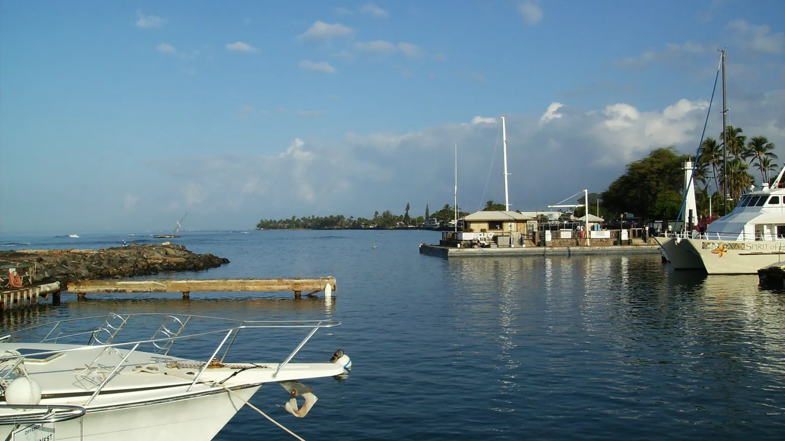 History chapter
Lahaina Harbor
From royal shoreline to recovery
History chapter
Lahaina Harbor
From royal shoreline to recovery
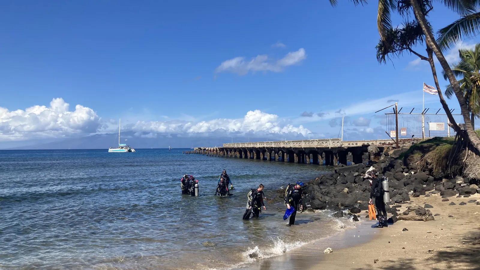 History chapter
Māla Wharf
Steamers, sugar and a West Maui lifeline
History chapter
Māla Wharf
Steamers, sugar and a West Maui lifeline
Central Maui
Working harbors, transportation, and community places at the island’s crossroads.
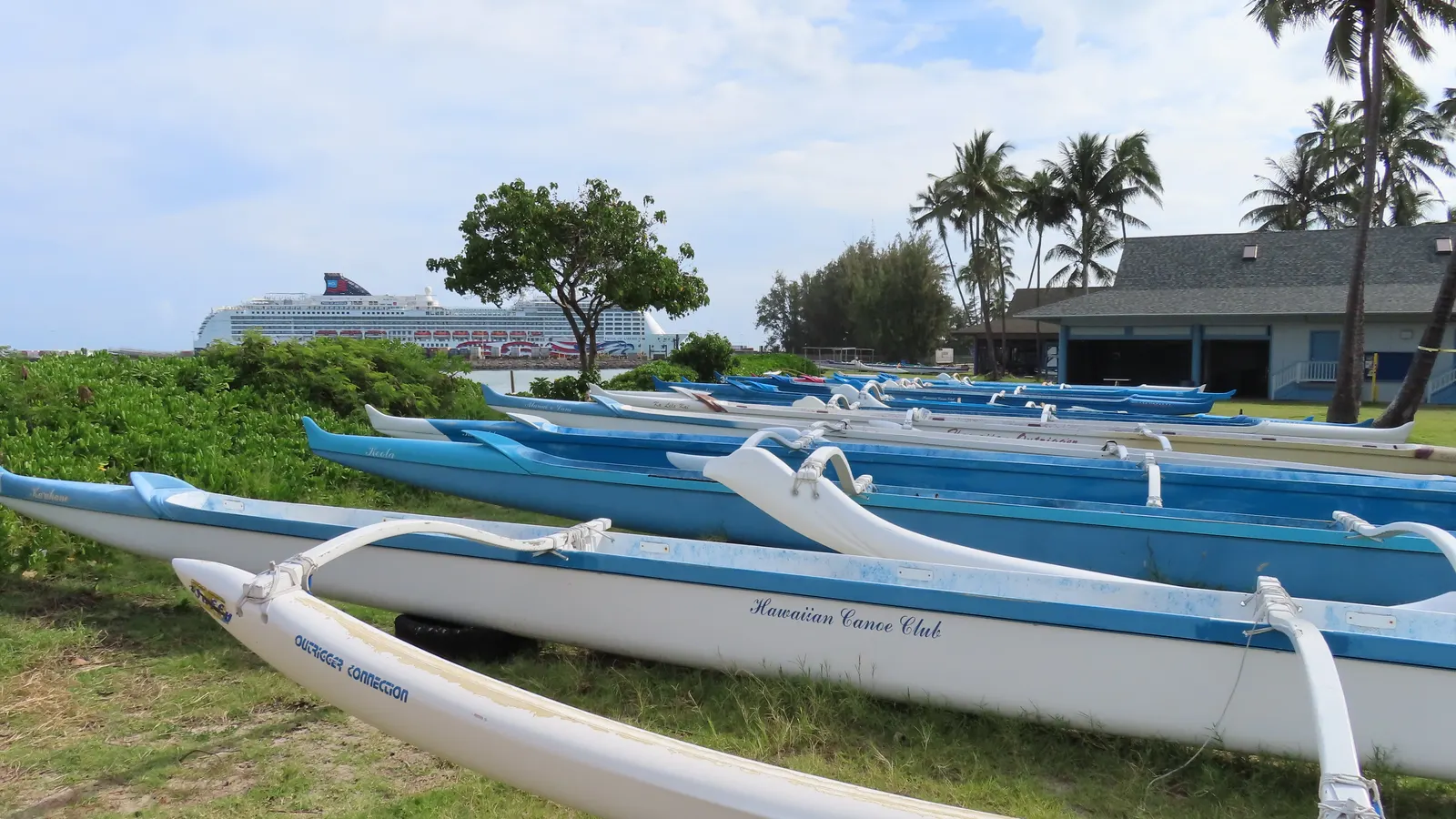 History chapter
Kahului Harbor
From canoe landing to working port
History chapter
Kahului Harbor
From canoe landing to working port
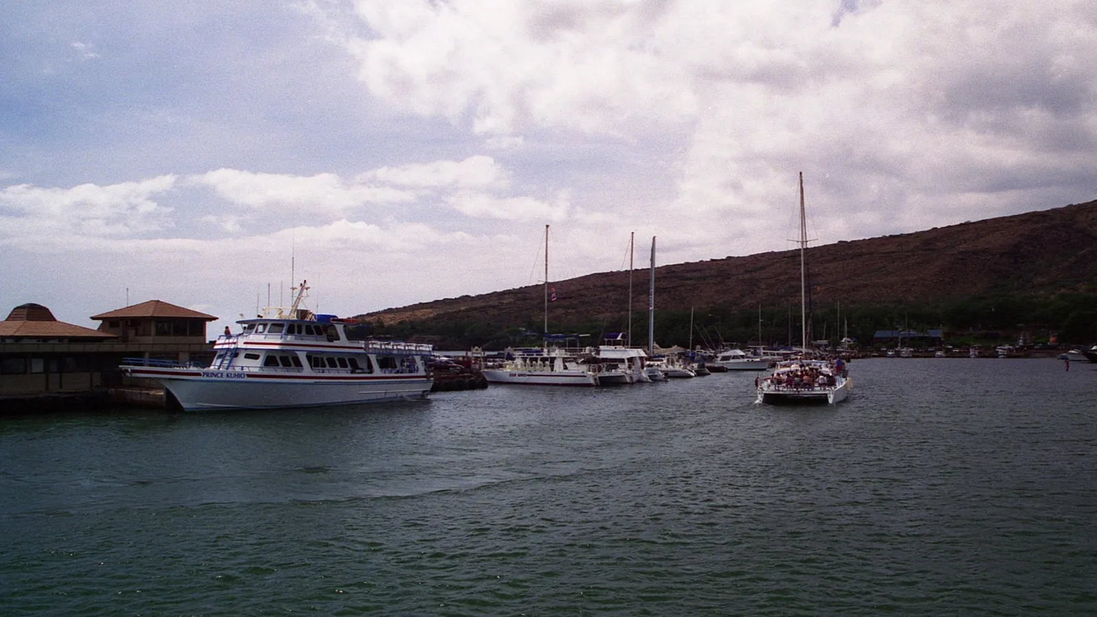 History chapter
Māʻalaea Harbor
From canoe landing to ocean gateway
History chapter
Māʻalaea Harbor
From canoe landing to ocean gateway
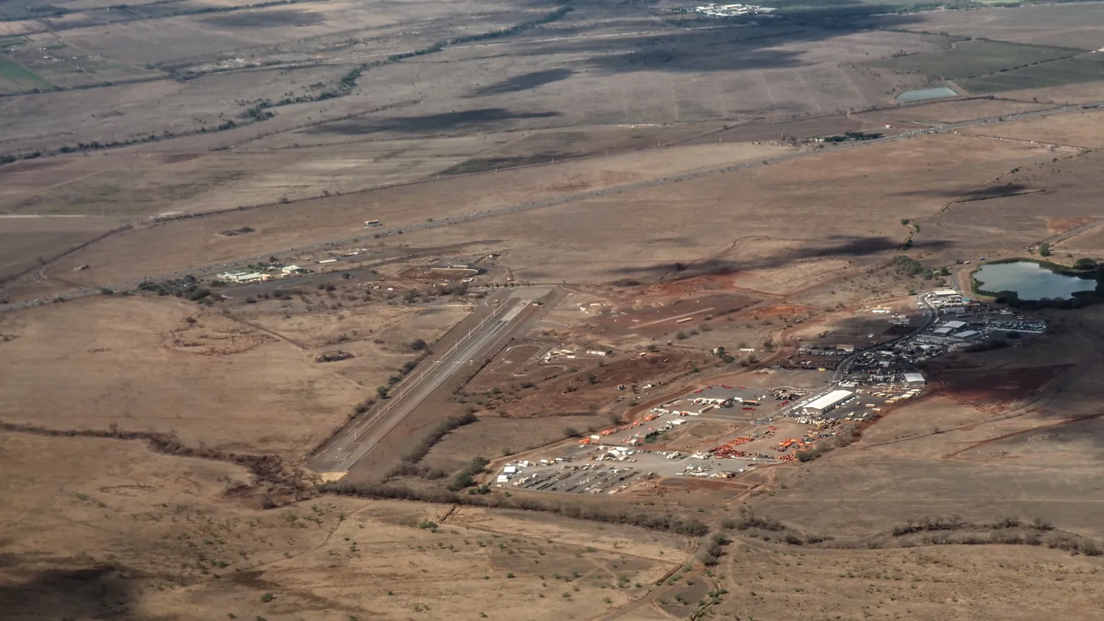 History chapter
Maui Dragstrip & Old Airport
From wartime runway to raceway
History chapter
Maui Dragstrip & Old Airport
From wartime runway to raceway
North Shore
Water, sugar, landings, and town life along the beginning of the windward route.
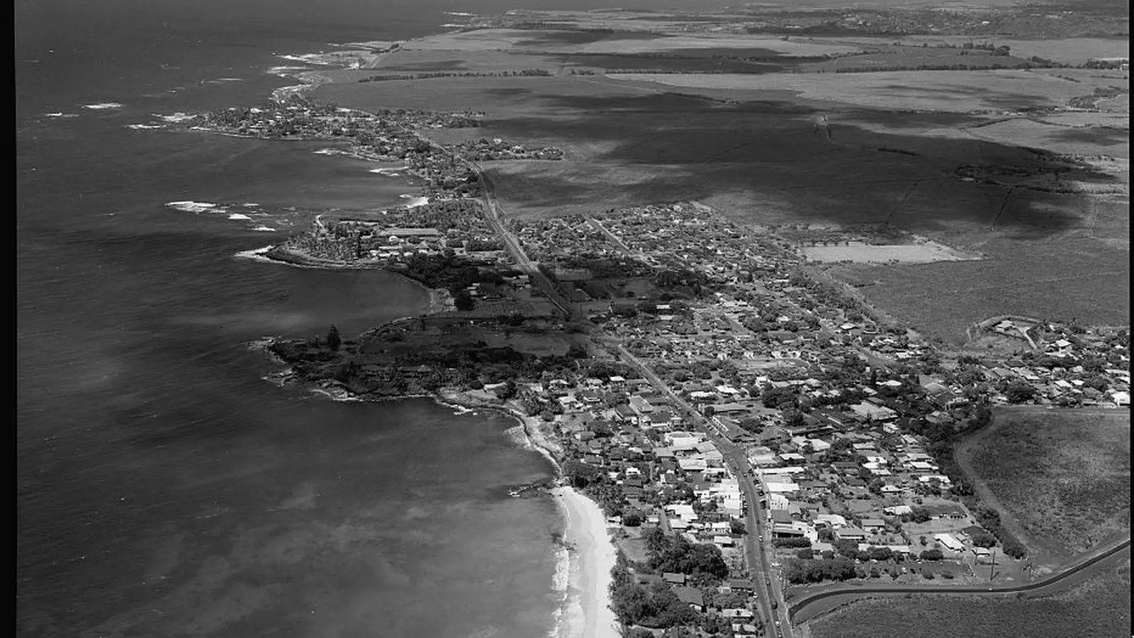 History chapter
Pāʻia Town
Water, sugar and an enduring main street
History chapter
Pāʻia Town
Water, sugar and an enduring main street
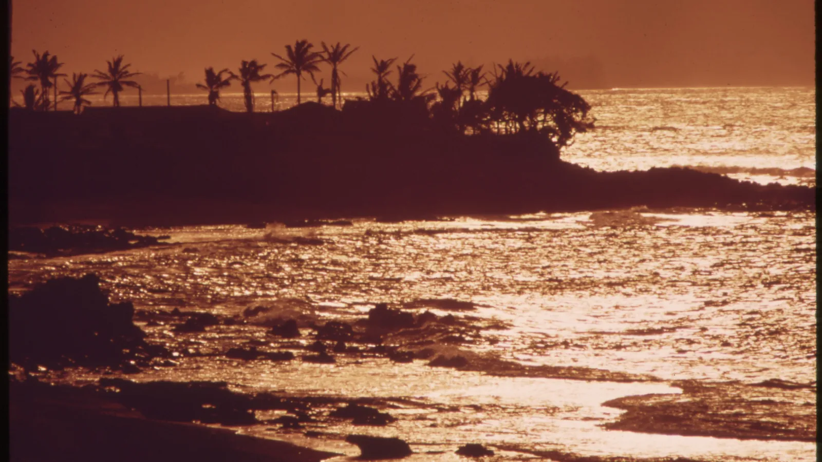 History chapter
Māliko Bay & Boat Ramp
Landing, railroad and restoration
History chapter
Māliko Bay & Boat Ramp
Landing, railroad and restoration
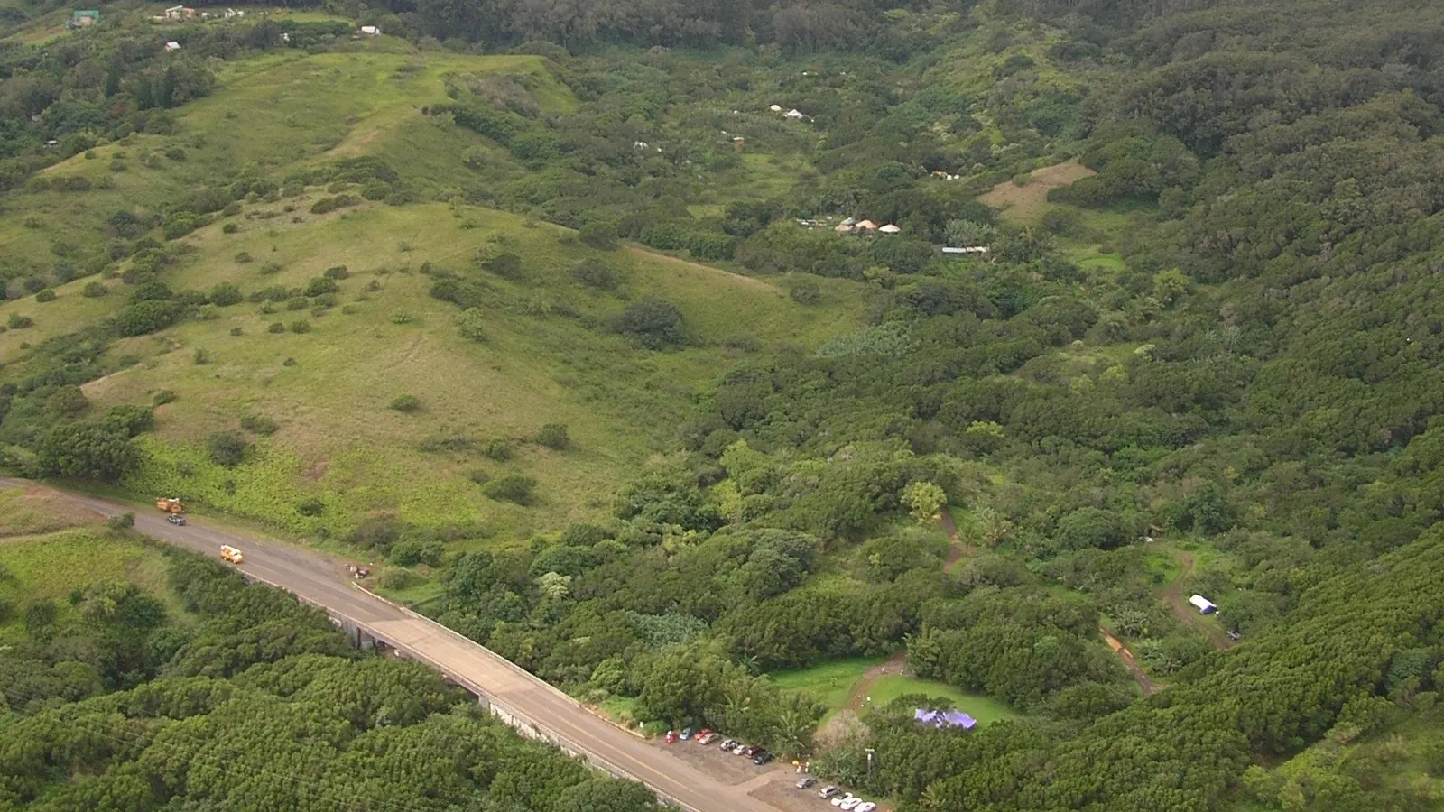 History chapter
Twin Falls & Hoʻolawa
Water, farm and managed access
History chapter
Twin Falls & Hoʻolawa
Water, farm and managed access
East Maui & Hāna
The historic highway, living communities, streams, ranch lands, harbor, and airport of East Maui.
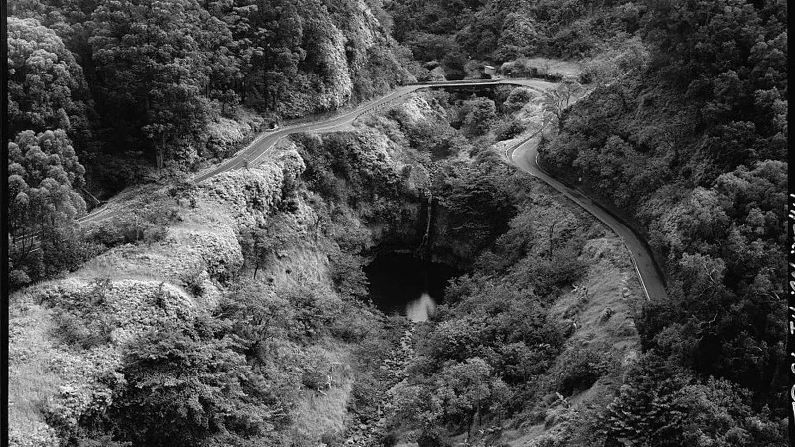 History chapter
Hāna Highway History
Trails, bridges and a living East Maui road
History chapter
Hāna Highway History
Trails, bridges and a living East Maui road
 History chapter
Keʻanae
Kalo, water and living community
History chapter
Keʻanae
Kalo, water and living community
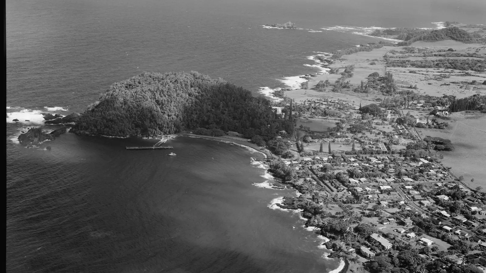 History chapter
Hāna Town
Hawaiian community, sugar and the road
History chapter
Hāna Town
Hawaiian community, sugar and the road
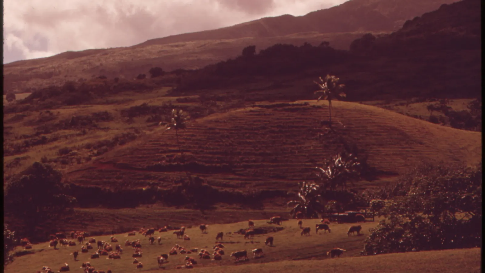 History chapter
Hāna Ranch
From sugar fields to working pasture
History chapter
Hāna Ranch
From sugar fields to working pasture
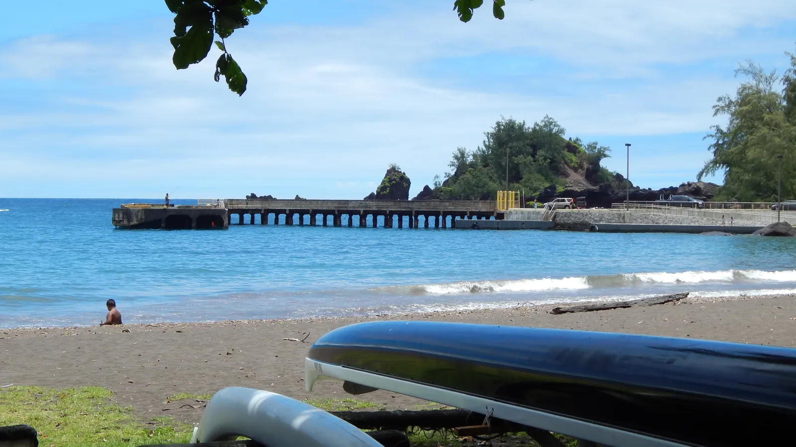 History chapter
Hāna Harbor
Kaʻuiki, sugar and the wharf
History chapter
Hāna Harbor
Kaʻuiki, sugar and the wharf
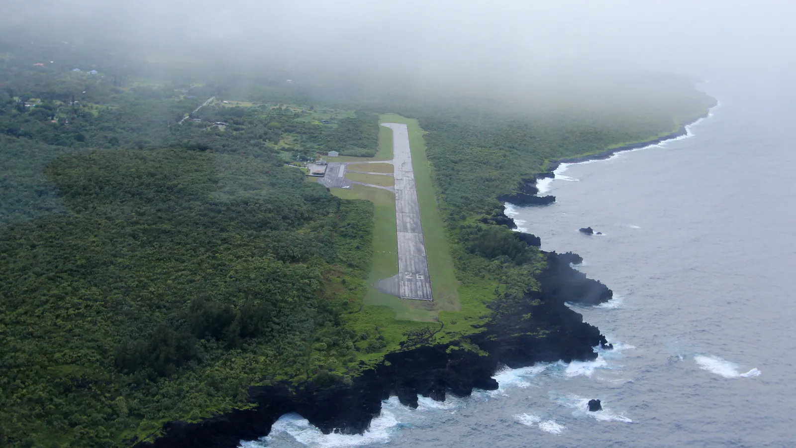 History chapter
Hāna Airport
From Hāmoa grass strip to HNM
History chapter
Hāna Airport
From Hāmoa grass strip to HNM
Upcountry & Haleakalā
A sacred mountain, its summit road, the national park, and the working lands below.
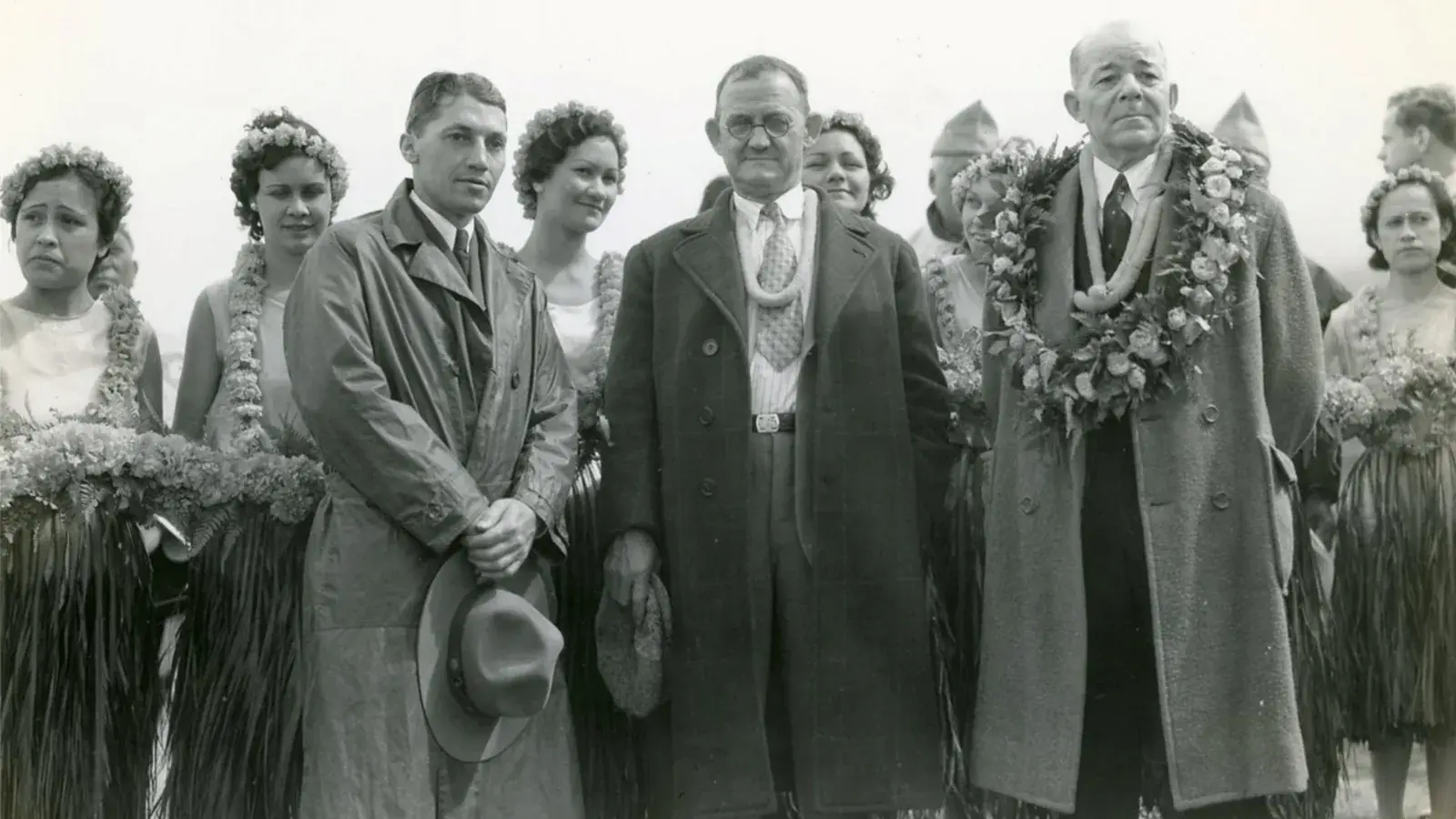 History chapter
Haleakalā Highway History
Sacred mountain, switchbacks and access
History chapter
Haleakalā Highway History
Sacred mountain, switchbacks and access
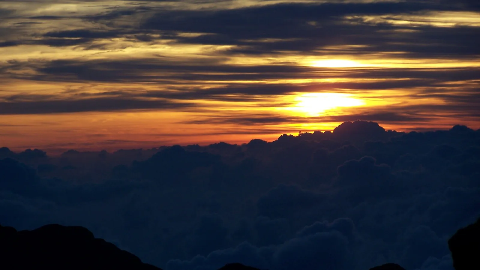 History chapter
Haleakalā National Park
Sacred summit, road and restoration
History chapter
Haleakalā National Park
Sacred summit, road and restoration
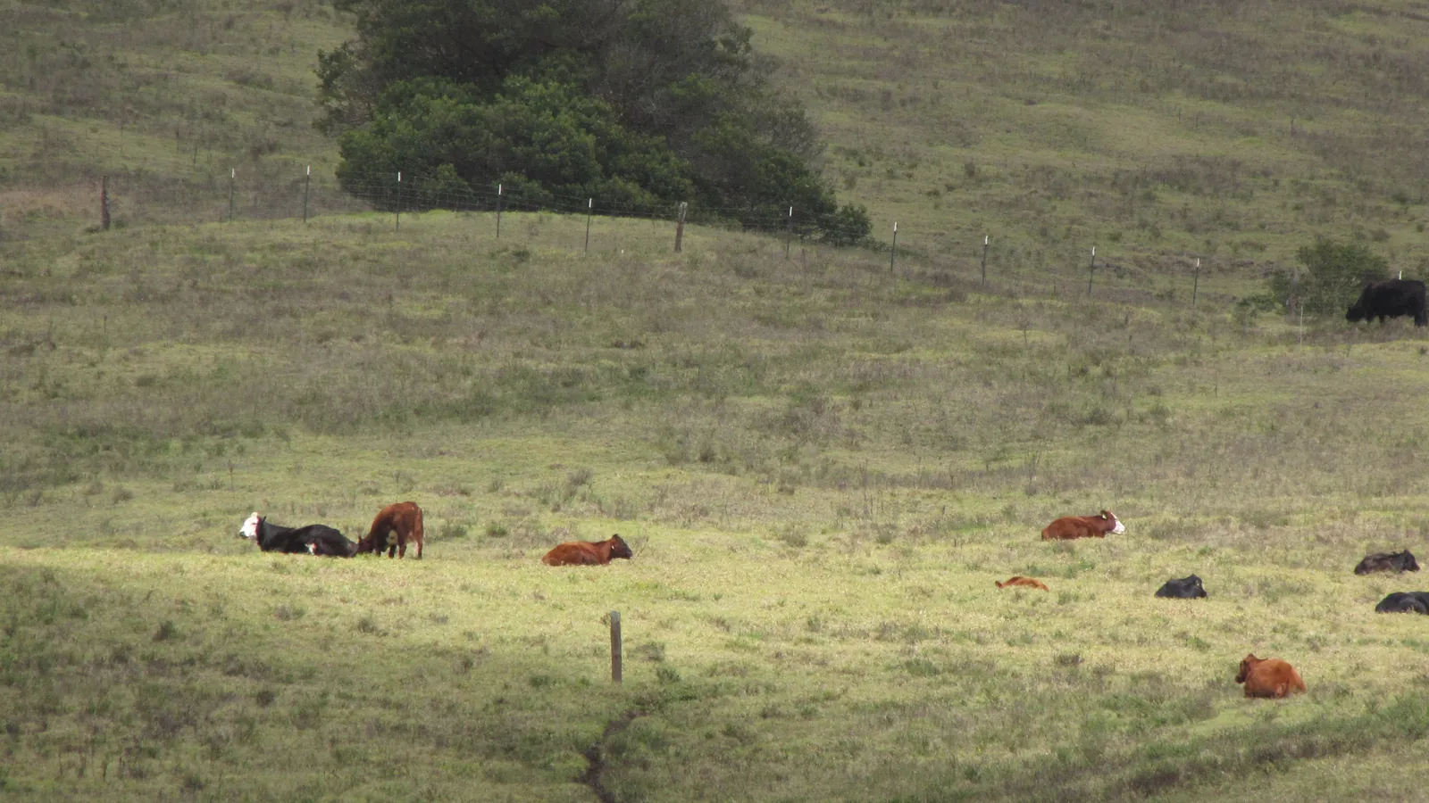 History chapter
Upcountry Ranches
Paniolo, pasture and the slopes of Haleakalā
History chapter
Upcountry Ranches
Paniolo, pasture and the slopes of Haleakalā
South Maui
Coastal landings, lava landscapes, ranch shipping, and modern ocean access.
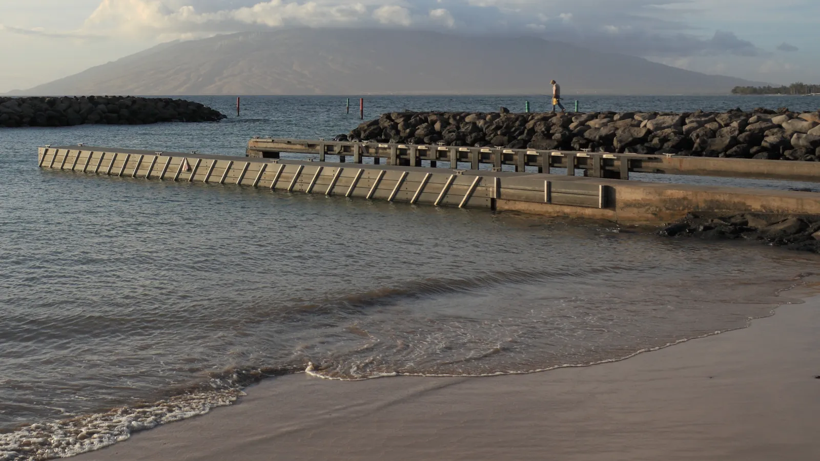 History chapter
Kīhei Boat Ramp
From coastal landing to public launch
History chapter
Kīhei Boat Ramp
From coastal landing to public launch
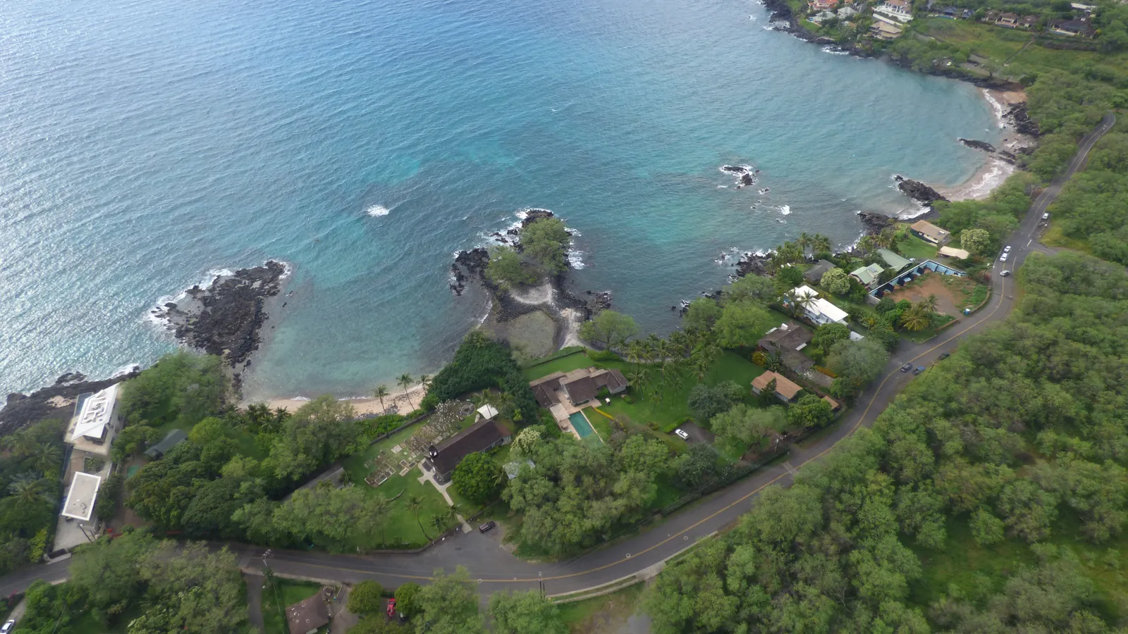 History chapter
Mākena Landing
From ranch port to beach park
History chapter
Mākena Landing
From ranch port to beach park
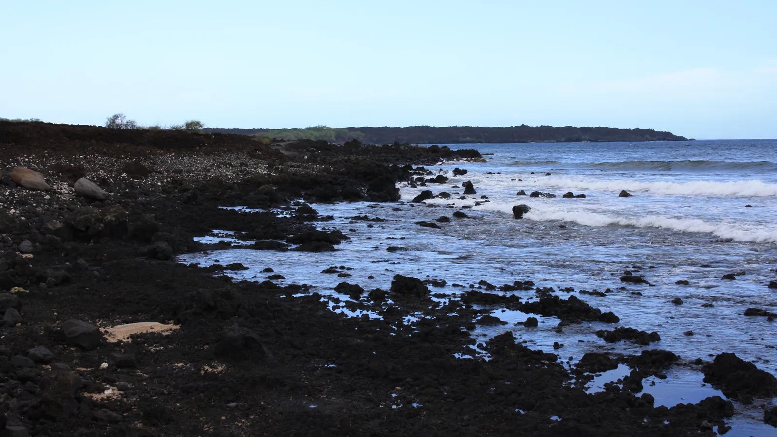 History chapter
Keoneʻōʻio / La Pérouse Bay
Villages, lava and a coast renamed
History chapter
Keoneʻōʻio / La Pérouse Bay
Villages, lava and a coast renamed
Kaupō & Southeast Maui
Dryland farms, coastal trails, weather, and remote communities around southeast Maui.
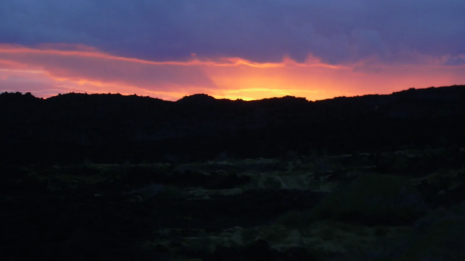 History chapter
Kanaio Coast
Trails, dryland farms and restoration
History chapter
Kanaio Coast
Trails, dryland farms and restoration
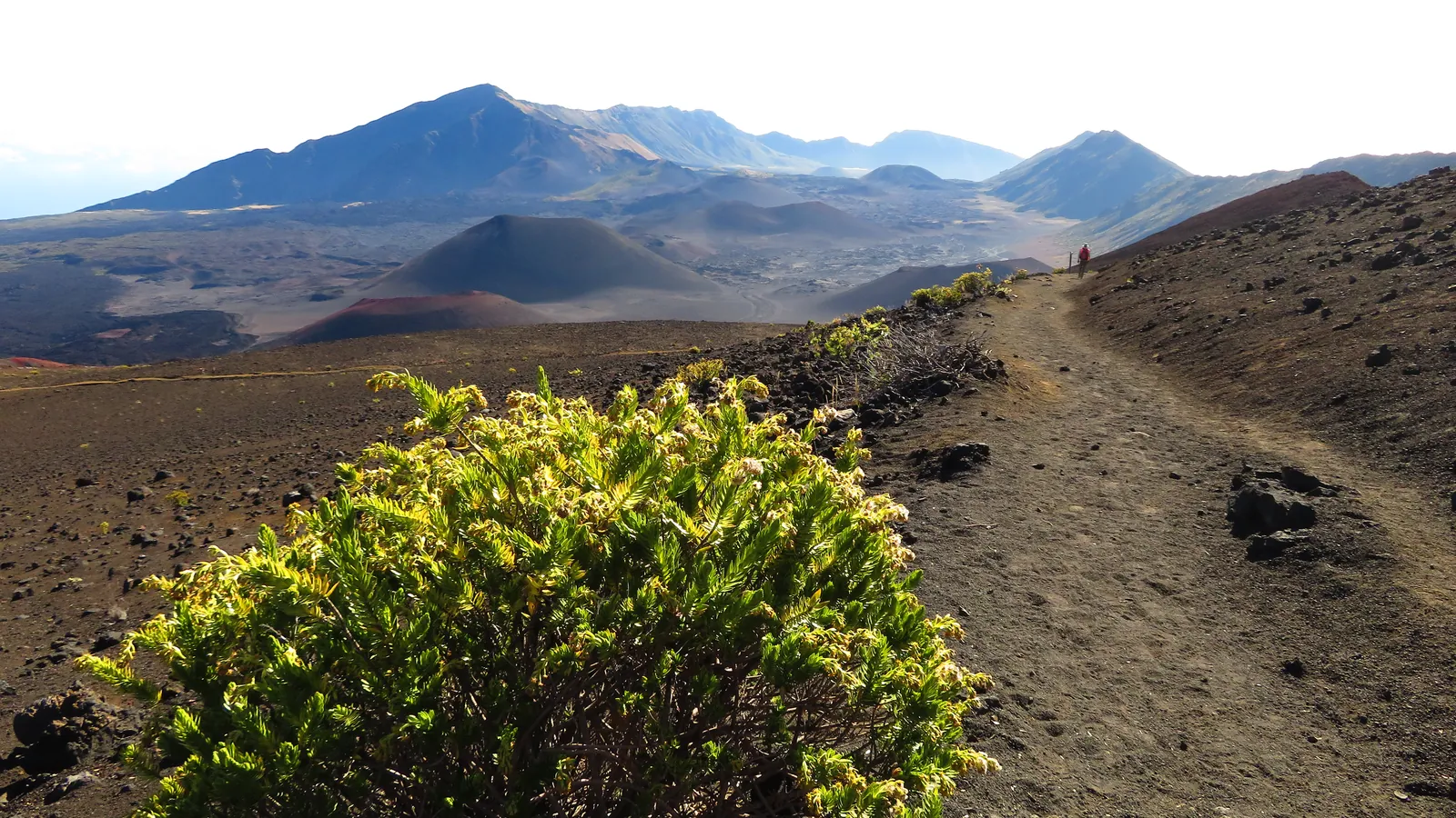 History chapter
Kaupō Coast
Fields, royal centers and weather
History chapter
Kaupō Coast
Fields, royal centers and weather
Islandwide Stories
People, weather, cabins, fishing, and hunting stories that cross modern regional boundaries.
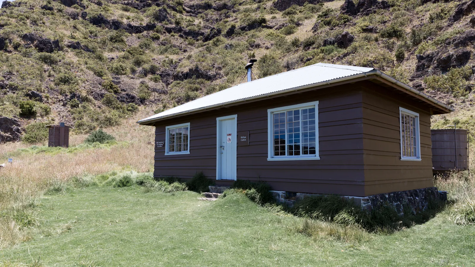 History chapter
Historic Park Cabins
Haleakalā shelters and Waiʻānapanapa lodging
History chapter
Historic Park Cabins
Haleakalā shelters and Waiʻānapanapa lodging
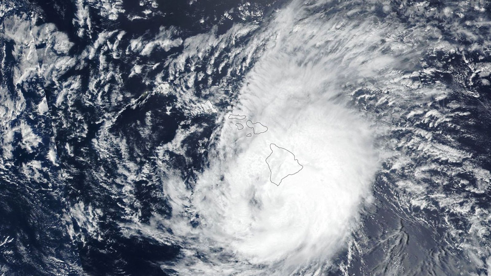 History chapter
Maui Hurricanes
Wind, rain and recovery across generations
History chapter
Maui Hurricanes
Wind, rain and recovery across generations
How to carry the stories forward
Visit with curiosity, mālama, and respect
Understanding history is not a checklist before a tour. It changes how we pronounce a name, approach a community, respond to a closure, and recognize that the ʻāina is more than a backdrop.
- Listen before labeling.Use Hawaiian place names carefully and recognize that one short chapter cannot contain every community perspective.
- Remember people live here.Public roads pass homes, farms, schools, churches, sacred places, and working shorelines.
- Let knowledge guide behavior.Honor access rules, do not enter private or sensitive sites, leave natural and cultural material where it belongs, and give residents room.
Related Maui history & tours
Follow the connections
Continue with the places and experiences that share this chapter’s roads, water, communities, or working landscapes.