

Maui History Series · Southeast Maui
Kaupō Coast: Fields, Royal Centers and a Road Shaped by Weather
Below Kaupō Gap, intensive ʻuala fields supported settlements, chiefly centers, and ceremonial places long before ranching and the modern road.
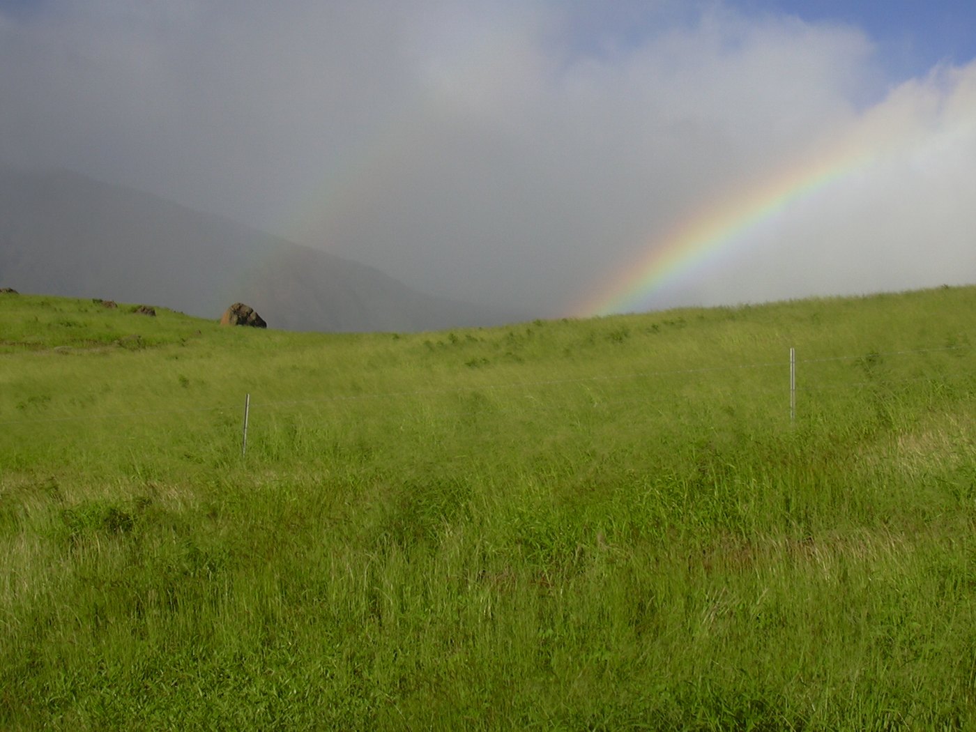
Follow the district through timePhoto: Forest & Kim Starr source (opens in a new tab) · CC BY 3.0 US license (opens in a new tab) · cropped and resized
Productive fields beneath an erosional gap
Distance from today’s towns did not mean isolation from Maui’s centers of power
Archaeology at Nuʻu documents one of Maui’s great rain-fed dryland agricultural systems. ʻUala and dryland kalo fields supported residences, fishing, ceremonial places, and organized labor across a district associated with royal centers in the seventeenth and eighteenth centuries.
Disease, migration, changing land ownership, and cattle ranching later transformed Kaupō. Earthquakes, floods, washouts, and repair work still make the road part of the history rather than a dependable “backside” shortcut.
Geology, food and political power
Kaupō Gap opens onto an intensively worked Hawaiian landscape
Mountain geology, rain-fed fields, coastal resources, and ceremonial architecture belong in the same view.


The gap is erosional, not a collapsed caldera
USGS describes Haleakalā’s summit depression as erosional. Kaupō Gap probably began when a large section of the mountain slid south; near the coast, debris-avalanche material lies beneath a lava flow about 120,000 years old.
Kaupō is also in Haleakalā lava-hazard Zone 2 because it lies downslope from potential crater flows. Geologic hazard zones describe long-term volcanic possibility, not a day-to-day forecast.
Rain-fed fields supported a dense cultural landscape
About 250 surveyed acres in the NPS Nuʻu parcel contain more than 1,600 documented features grouped into 76 sites. They include agricultural terraces, residences, platforms, fishing shrines, adze-production evidence, and Native Hawaiian burials.
Radiocarbon evidence places initial use no later than the fifteenth through seventeenth centuries. The fields relied on rain-fed ʻuala and dryland kalo rather than the irrigated systems familiar from wetter Maui valleys.
Agricultural productivity supported aliʻi and ceremony
In the 1700s, Kekaulike maintained a royal center at Mokulau. NPS cites a scholarly estimate that as many as 17,500 people may have lived in the district; that is an estimate, not a census.
Loʻaloʻa Heiau is associated in oral tradition with Kekaulike and is documented at roughly 115 by 500 feet. It is not open to the public. The page names it to explain regional history, not to direct visitation.
-
By the 1400s–1600s
Nuʻu is intensively used
Radiocarbon evidence establishes a productive agricultural and residential landscape.
-
1700s
A royal center at Mokulau
Kekaulike’s district draws strength from Kaupō’s organized agricultural production.
-
Circa 1730
Loʻaloʻa enters the traditional record
Oral tradition associates monumental ceremonial construction with Kekaulike.
-
1802
Kamehameha I rebuilds and dedicates the heiau
The event belongs to the later chiefly and political history of the district.
Population change, ranching and weather
A rural coast is reshaped without becoming empty
Disease, migration, changing ownership, cattle, earthquakes, and repeated road closures altered Kaupō’s communities and connections.
Nineteenth-century population decline changes schools and landholding
Introduced disease and migration toward Lahaina and Honolulu sharply reduced population. Nuʻu school attendance fell from 110 pupils in 1845–47 to 49 in 1859; the school closed by 1880.
During the 1848 Māhele, the 12,140-acre Nuʻu ahupuaʻa was awarded to Kaleimoku. The land later passed to the future King Kalākaua, and James Campbell acquired half of Nuʻu in 1892.
Ranching—not plantation sugar—defines the later economy
Nuʻu households continued ʻuala farming, fishing, and salt gathering while cattle ranching became increasingly important into the twentieth century. Traditional kō hedges around fields are not evidence of plantation sugar.
Kaupō’s later transition is better understood through population loss, ranching, rural continuity, and transportation isolation than through a plantation narrative forced onto the district.
Earthquakes and severe weather keep changing the road story
The magnitude-6.7 Maui earthquake of January 22, 1938 heavily damaged southeastern ranches, tanks, and stone walls and altered local springs and hydrology. It is safer to say hydrology changed than to repeat an unsupported claim that every spring “dried up.”
Road isolation followed the 2006 earthquake and rain, January 2025 flooding, severe weather in February and March 2026, and May 2026 geotechnical work. Each event had a distinct cause and duration; none proves permanent closure or permanent reliability.
Conservation adds a protected future
NPS acquired more than 4,100 acres at Nuʻu in 2008, and Hawaiʻi Land Trust acquired an adjacent 80 coastal acres in 2011. The NPS parcel remains closed while resource protection and restoration continue.
Protection does not erase ranching or community history. It adds another form of stewardship across a landscape where public, private, and protected boundaries meet.
-
1845–80
School enrollment falls and the school closes
Population change becomes visible in the district record.
-
1848–92
Nuʻu ownership changes
The Māhele award is followed by royal and later private ownership.
-
January 22, 1938
A major earthquake strikes
Southeast Maui ranch infrastructure and local hydrology are affected.
-
2008–11
Nuʻu conservation acreage expands
NPS and Hawaiʻi Land Trust protect adjoining mountain-to-coast lands.
-
2025–26
Floods and repairs repeatedly affect the road
Short-lived closures reinforce the need for same-day checks.
What guests can understand
The public road reveals broad patterns, not permission to enter
Geology, pasture, road repairs, and protected-land signs provide context without directing visitors to sensitive places.
- Kaupō GapIts scale links summit geology with the coast below.
- Pasture and wallsThey record ranching and working-land continuity, not unused open space.
- Drainage and repairsEmbankments, fresh pavement, and temporary work reveal repeated weather pressure.
- Closed-land signsThey protect cultural and natural resources and must never be treated as inconveniences.
Related Maui history & tours
Follow the connections
Continue with the places and experiences that share this chapter’s roads, water, communities, or working landscapes.
Continue the series
Follow the southeast coast toward Kanaio and Haleakalā
Kanaio Coast and Haleakalā National Park explain neighboring trail, ranch, military, conservation, and mountain histories.
Research notes
Sources & further reading
This chapter separates archaeological evidence, oral tradition, scholarly estimates, geologic interpretation, and access records checked August 20, 2026. It intentionally omits sensitive-site locations.
- National Park Service: preservation and history of Nuʻu (opens in a new tab)
- National Park Service: Loʻaloʻa Heiau history and access notice (opens in a new tab)
- U.S. Geological Survey: Haleakalā geology and history (opens in a new tab)
- U.S. Geological Survey: 1938 Maui earthquake (opens in a new tab)
- U.S. Geological Survey: Haleakalā lava-hazard zones (opens in a new tab)
- County of Maui: March 2026 Nuʻu-area flood closure (opens in a new tab)
- County of Maui: May 2026 Waiopai Embankment closure (opens in a new tab)
- County of Maui: February 2026 local-traffic restriction (opens in a new tab)
- National Park Service: 2006 road isolation after earthquake and rain (opens in a new tab)
- Hawaiʻi Board on Geographic Names: official Maui place names (PDF) (opens in a new tab)
- County of Maui: current emergency road notices (opens in a new tab)
- Hawaiʻi Trails: live State trail closures and notices (opens in a new tab)
- National Park Service: live Haleakalā closure alerts (opens in a new tab)
- National Park Service: normal hiking and Kaupō Trail guidance (opens in a new tab)