
Maui History Series · Upcountry
Upcountry Ranches: Paniolo, Pastures and the Slopes of Haleakalā
Long before fences crossed these slopes, Hawaiian trails, farms, and sacred places connected mountain and sea. Cattle, sugar, paniolo, war, roads, and conservation later reshaped the country visitors see today.
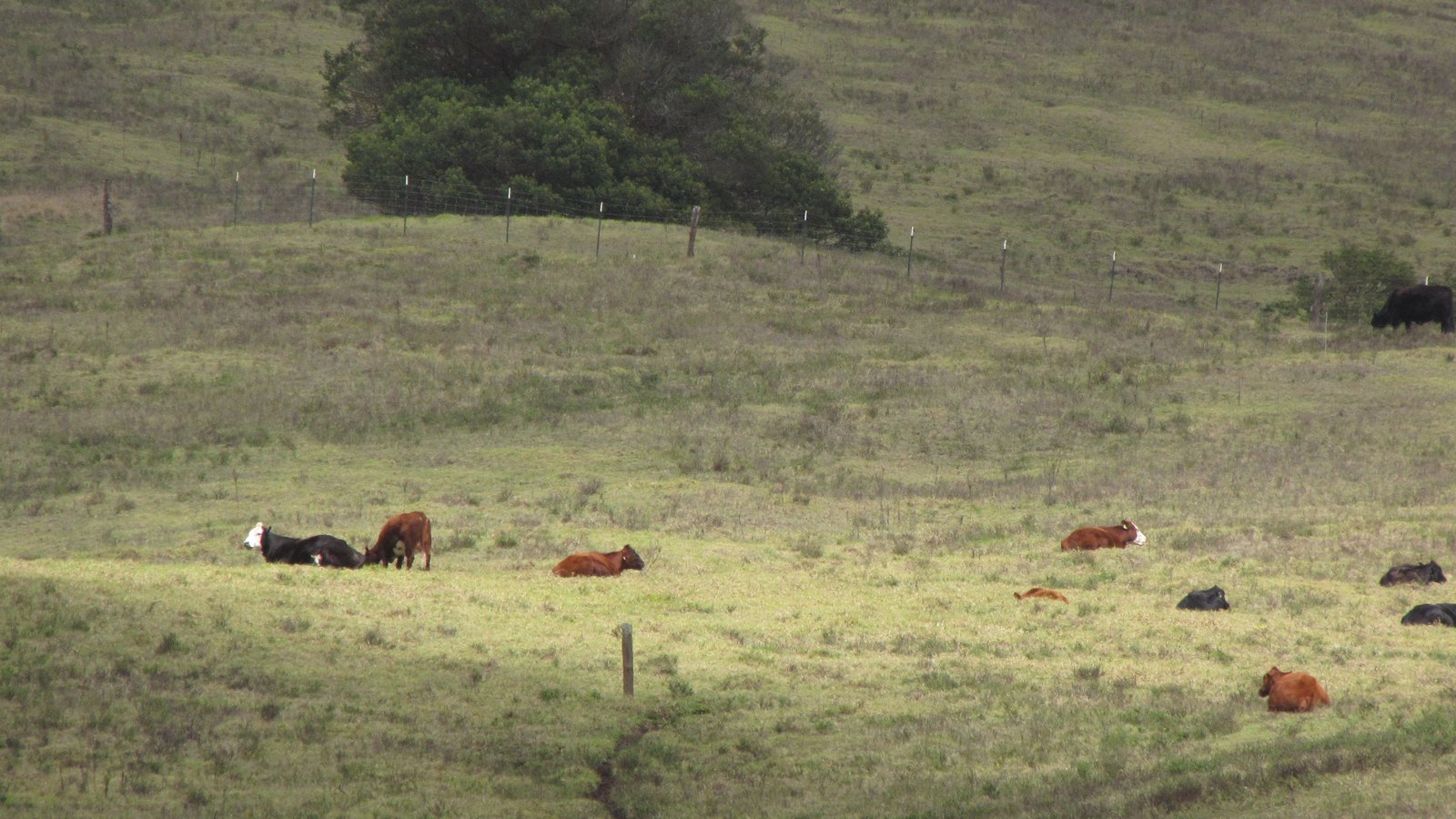
Ride through the historyPhoto: Forest & Kim Starr source (opens in a new tab) · CC BY 3.0 US license (opens in a new tab) · cropped and resized
Working land, not empty scenery
The ranch story begins before cattle
Haleakalā is a living Native Hawaiian cultural landscape. Trails crossed the mountain, lower slopes supported cultivation and forest gathering, and the summit held ceremonial, navigational, and resource significance long before the modern regional label “Upcountry” existed.
Cattle introduced to Hawaiʻi in 1793, the Māhele, imported ranching knowledge, plantation capital, road construction, and later conservation agreements each changed how these lands were used and controlled. Haleakalā Ranch and ʻUlupalakua Ranch anchor the chapter, but they belong to a wider Maui ranching network.
Before the fence line
Hawaiian uplands become cattle country
Paniolo culture grew from Hawaiian skill and adaptation within a landscape already rich with travel, cultivation, ceremony, and chiefly governance.
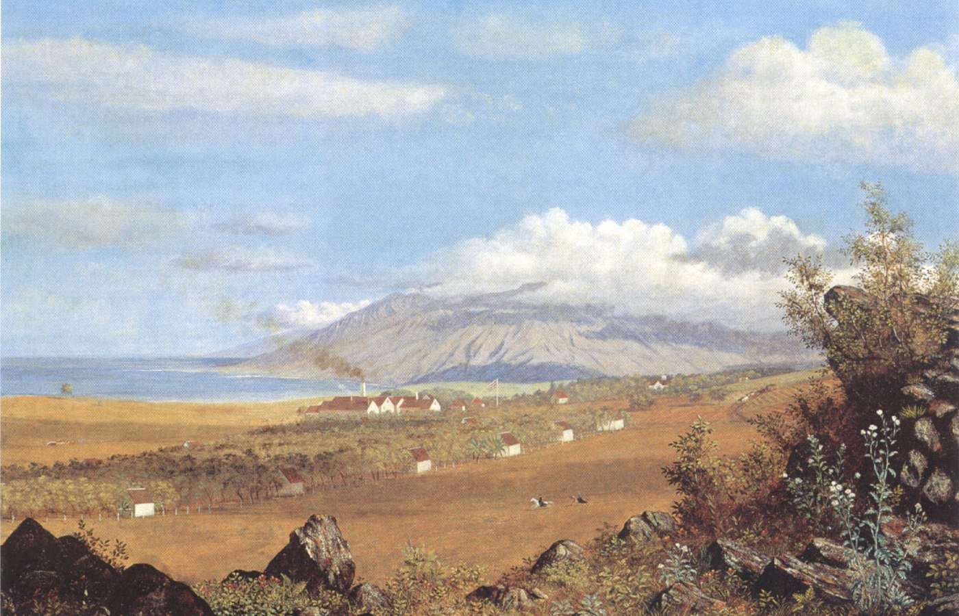

A mountain already crossed and known
Before pasture fences divided the slopes, Haleakalā connected Hawaiian communities across Maui. The summit was—and remains—a wahi pana and wao akua associated with ceremony, navigation, and specialized resource gathering. Hawaiian trails linked the summit and East Maui, while lower elevations supported dryland cultivation and forest resources.
The adze quarry and other documented features show long-term skilled use. These lands must never be introduced as empty country waiting for ranching, and sensitive cultural sites should not be mapped or treated as attractions.
Cattle arrive; paniolo culture takes shape
Cattle reached Hawaiʻi in 1793 and multiplied under a protective kapu. Their damage to crops and settlements eventually required active control. In the 1830s, Kamehameha III invited Mexican vaqueros to teach cattle handling, horsemanship, fencing, and hide work.
Hawaiians did not simply copy those skills. They shaped a distinctive paniolo culture with its own gear, clothing, music, language, and community traditions. “Paniolo” is best described as a Hawaiianized form of español rather than a mispronunciation.
Land title changes beneath the work
The Māhele changed the legal landscape. In 1848, Kamaʻikaʻaloa received title to much of the summit tract later associated with Haleakalā Ranch. The ranch acquired it from the estate in 1888.
Across Maui, unfamiliar title procedures and other barriers also contributed to Native Hawaiian dispossession. Fence lines therefore record more than cattle management: they mark ecological change, cultural continuity, and a major shift in control of land.
-
1793
Cattle reach Hawaiʻi
Introduced animals begin a far-reaching ecological and economic change.
-
1830s
Vaqueros teach cattle work
Hawaiians adapt imported ranching skills into distinct paniolo culture.
-
1841
Torbert leases ʻUlupalakua lands
Livestock, diversified crops, and a sugar mill share an early mixed estate.
-
1856–61
Rose Ranch takes shape
James Makee develops the estate and restarts sugar production.
-
1883
The last sugar crop is ground
ʻUlupalakua’s estate shifts fully toward cattle after storm and drought losses.
-
1888
Haleakalā Ranch incorporates
A major Hawaiian Kingdom-era ranch company acquires the summit tract.
Roads, war and stewardship
Two ranches follow different paths into modern Upcountry
Sugar, summit tourism, wartime occupation, postwar population growth, and conservation changed what ranching meant on Haleakalā’s slopes.
ʻUlupalakua: from mixed estate to cattle and wine
Rose Ranch combined fields, livestock, sugar, and hospitality. Hurricane damage in 1871, drought in 1878, and the final 1883 sugar crop changed its direction. Dowsett and Raymond continued the ranching era before the Baldwin family acquired the property in 1922 and used the ʻUlupalakua Ranch name.
The Erdman family purchased the ranch in 1963. A winery corporation established in 1974 became one visible sign of postwar diversification. In 2009, the family placed 11,051 acres under a perpetual agricultural easement protecting working land, watershed, and habitat.
Haleakalā Ranch: summit land, roads and multiple enterprises
Haleakalā Ranch became tied to cattle, dairy, polo, forestry, pineapple, and visitor history. It planted trees and fenced watershed land early in the twentieth century. The ranch agreed to a summit land exchange in 1927; the federal transfer was completed in 1928, adding land to the national park after cattle had grazed within the depression until 1922.
The 1935 summit highway transformed visitor travel, but NPS—summarizing contemporary Maui News coverage—also records Hawaiian protest against building the road across sacred Haleakalā; the tourism story was not uncontested. During World War II, the military occupied the park summit rather than the ranches as one undifferentiated landscape. Postwar roads, homes, tourism, and mechanization then changed surrounding settlement and work.
Working lands also become conservation partners
Haleakalā Ranch granted The Nature Conservancy a 5,230-acre Waikamoi conservation easement in 1983 and helped organize the East Maui Watershed Partnership in 1991. Alexander & Baldwin added 3,721 acres in 2014, bringing Waikamoi Preserve to 8,951 acres.
Both large ranches remain private working landscapes. Conservation easements preserve agricultural use, habitat, watershed, and views, but they do not convert all acreage into public recreation land.
-
1916–28
Park and ranch boundaries change
The park is created; cattle leave the depression; summit ranch land transfers to the federal government.
-
1935
The summit highway opens amid opposition
Automobile access transforms visitor travel while documented Hawaiian protest records that the road across sacred Haleakalā was contested.
-
1941–48
The summit serves wartime needs
Military radar and base facilities occupy national-park land before phased return to NPS.
-
1963–74
ʻUlupalakua diversifies
The Erdman era begins and a winery corporation adds a new agricultural business.
-
1983–91
Watershed partnerships grow
Waikamoi protection and East Maui watershed coordination expand.
-
2009–14
Working lands gain lasting protection
ʻUlupalakua and Waikamoi easements protect ranch, watershed, and habitat acreage.
What guests can notice
Read a working landscape from public roads and authorized stops
The visible clues are not decorative props. They record labor, land control, water management, introduced species, visitor access, and active agriculture.
- Stone walls and fence linesSome relate to late-nineteenth-century ranch work, while summit structures can be older Hawaiian features. Never assign every wall one origin.
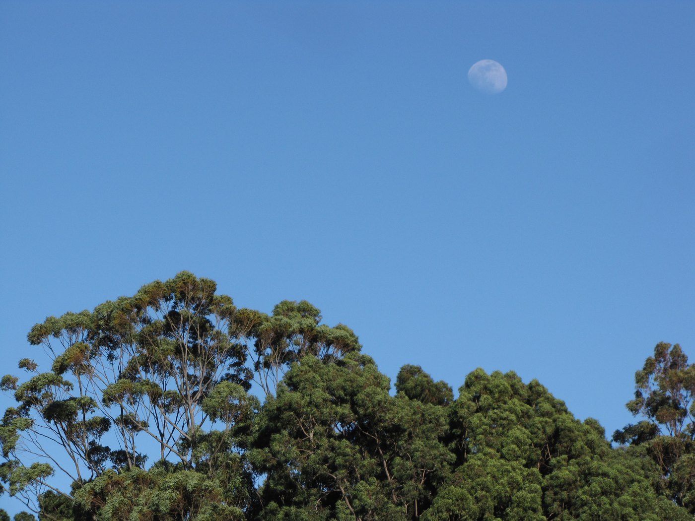
- Windbreaks and eucalyptusTree lines can recall forestry and ranch experiments, but introduced eucalyptus is not native forest.
- Tanks, troughs and gatesWorking infrastructure reflects uneven rainfall, livestock movement, and private property boundaries.
- Open vistasMuch of the apparent open space persists because of active grazing and conservation easements, not because the land is unused.
Related Maui history & tours
Follow the connections
Continue with the places and experiences that share this chapter’s roads, water, communities, or working landscapes.
Continue the series
Follow ranch land toward summit and coast
Haleakalā National Park and Kīhei’s changing shoreline show where Upcountry land, water, road, and visitor stories lead.
Research notes
Sources & further reading
Company acreage, visitor hours, closures, and access rules change. This chapter uses official, institutional, and company records checked August 20, 2026 and labels self-reported current figures accordingly.
- National Park Service: Native Hawaiian history and summit cultural landscape (opens in a new tab)
- National Park Service: paniolo history and Mexican vaquero influence (opens in a new tab)
- National Park Service: Haleakalā Highway, summit land exchange and tourism history (opens in a new tab)
- National Park Service: military use of Haleakalā during World War II (opens in a new tab)
- County of Maui: Maui Island history report (PDF) (opens in a new tab)
- Haleakalā Ranch: company history timeline (opens in a new tab)
- Haleakalā Ranch: company conservation history (opens in a new tab)
- MauiWine: ʻUlupalakua and Rose Ranch company chronology (opens in a new tab)
- ʻUlupalakua Ranch Store & Grill: current visitor hours (opens in a new tab)
- MauiWine: current visitor hours and reservation information (opens in a new tab)
- MauiWine: visitor-access and grounds-use FAQ (opens in a new tab)
- Hawaiʻi Land Trust: 2009 ʻUlupalakua agricultural easement (opens in a new tab)
- The Nature Conservancy: Waikamoi Preserve history and access (opens in a new tab)
- National Park Service: live Haleakalā closure alerts (opens in a new tab)
- Hawaiʻi Department of Transportation: current weather and road status (opens in a new tab)
- State Land Use Commission: Kaʻonoʻulu Ranch findings (PDF) (opens in a new tab)