
Maui History Series · Honuaʻula
Mākena Landing: From Hawaiian Coast to Ranch Port
Fishing communities, an open-roadstead cattle port, wartime access, and postwar recreation meet at an old launch inside a modern County beach park.
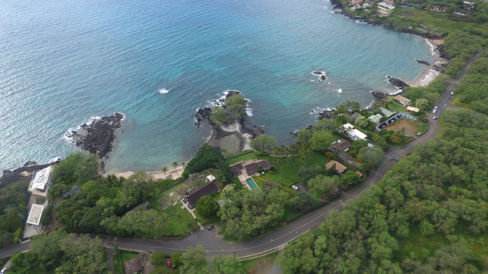
Follow Mākena Landing through timePhoto: Forest & Kim Starr source (opens in a new tab) · CC BY 3.0 US license (opens in a new tab) · cropped and resized
An ocean connection for Honuaʻula
The old launch is only the newest visible layer
Mākena means “abundance,” a name County cultural research connects with the marine wealth of this Honuaʻula coast. Hawaiian communities combined fishing, shoreline travel, dryland cultivation, and relationships with lands upslope long before the modern park or concrete launch existed.
During the nineteenth century, Mākena became an open-roadstead port serving ranches and farms. The landing later lost commercial importance, gained wartime road access, and became part of a rapidly changing South Maui visitor district.
Hawaiian coast and ranch port
A landing joins a dry coast to productive uplands
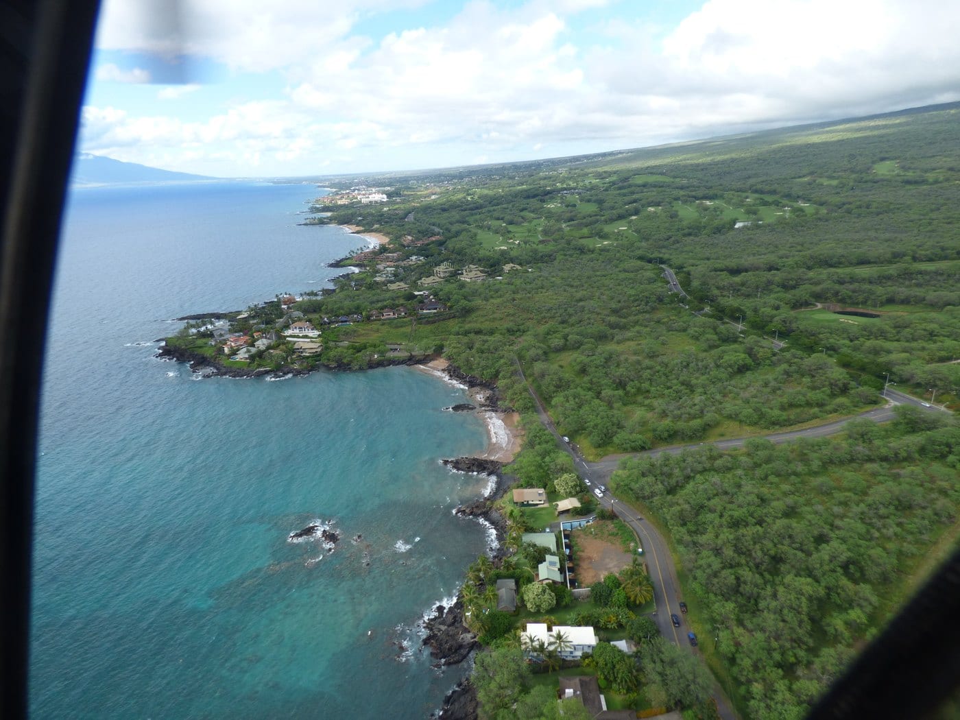
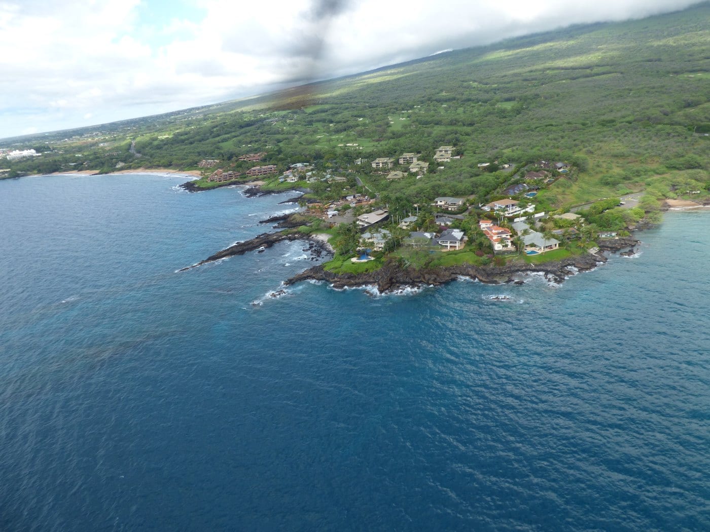
Mākena’s sheltered-looking cove sat within a much larger Honuaʻula network of fishing, farming, trails, ranches, and interisland shipping.
Honuaʻula’s history begins with Hawaiian abundance
Traditional Honuaʻula supported fishing communities, dryland cultivation, and travel along shoreline and upland routes. ʻUala and other crops grew in a demanding dry landscape while the ocean provided food, transportation, and cultural continuity.
The broader district contains habitations, fishing features, shrines, and burials. Their presence establishes a lived cultural landscape; this page deliberately omits locations and does not turn them into visitor destinations.
An open roadstead carries cattle and farm products
An 1879 United States report described Mākena as a good landing and anchorage. Historical studies identify it as one of Maui’s important nineteenth-century ports, carrying cattle and agricultural products from the uplands while receiving supplies for Central Maui.
James Dowsett expanded Rose Ranch and acquired Mākena Landing property in 1898. Raymond Ranch at ʻUlupalakua used the coast in a large cattle-shipping operation, while a navigation light near Kanahena Point helped interisland traffic until a replacement beacon was established in 1918.
New roads and a new landing redirect commerce
In 1901, J. H. Raymond built a separate landing, slaughterhouse, and cold-storage operation at Keoneʻōʻio. Better roads and Kahului’s expanding transport network also reduced the importance of open-roadstead landings like Mākena.
That shift did not erase ranch history. It changed how cattle, supplies, and people moved between the uplands and the sea.
-
Before Western contact
Honuaʻula communities connect coast and uplands
Fishing, dryland agriculture, and travel sustain a populated cultural landscape.
-
1879
A federal report records the landing
Mākena is described as an open roadstead with a good landing and anchorage.
-
Late 1800s
Ranch shipping expands
Cattle and agricultural products move through Mākena while supplies arrive for inland communities.
-
1898–1918
Property and navigation systems change
Dowsett acquires landing property and coastal lights support interisland commerce.
-
1901
Raymond shifts operations south
A separate Keoneʻōʻio landing and processing facility changes the shipping network.
War, growth and public shore
Military access and a visitor economy reshape the coast
World War II road work, postwar resort growth, and public-facility decisions explain why an old launch remains inside a beach park.
World War II leaves roads and restrictions
State historical studies report military construction of vehicle access to Mākena, barbed wire along beaches, and amphibious-landing exercises as forces trained for Pacific campaigns. These activities altered access to an existing Hawaiian cultural landscape; they did not create an empty coast.
The wartime infrastructure later made portions of South Maui easier to reach, one link between military construction and postwar recreation.
Resorts and population growth change South Maui
The historic Kīhei–Mākena community plan records growth from 1,636 residents in 1970 to 15,365 in 1990, while the average daily visitor population reached 16,079. Wailea development accelerated in the 1970s and Mākena resort development followed in the mid-1980s.
Mākena itself remained comparatively small even as the surrounding coast became one of Maui’s busiest visitor districts. That contrast placed increasing pressure on roads, beaches, parking, and ocean access.
The State chooses Kīhei for a full public ramp
When officials evaluated a new full-scale boat ramp in 1979, Mākena was rejected because it lacked enough support space and had already been designated primarily for swimming. Kīhei was selected instead.
A 1982 State study still documented a small launch at Mākena. That distinction explains today’s landscape: a visible old launch remains, but the site is a County beach park rather than a State-operated trailered-boat facility.
-
World War II
Military access reaches the coast
Road work, restrictions, and amphibious exercises alter the shoreline.
-
1970s–90s
Regional population and tourism grow
Resorts, residents, and visitors increase pressure on South Maui infrastructure.
-
1979
Mākena is rejected for a full boat ramp
Limited support area and the beach’s swimming role favor Kīhei instead.
-
1982
A small existing launch is recorded
The old launch enters the State environmental record without becoming today’s main public ramp.
-
Today
The landing is a County beach park
The concrete remnant tells a transportation story but does not establish current motorized-launch authority.
What guests can notice
Read the coastline without mistaking history for permission
The park’s broad setting gives context without entering sensitive areas or treating the old launch as a promise of access.
- Old launchA surviving postwar recreation layer, not proof of current trailered-boat use.
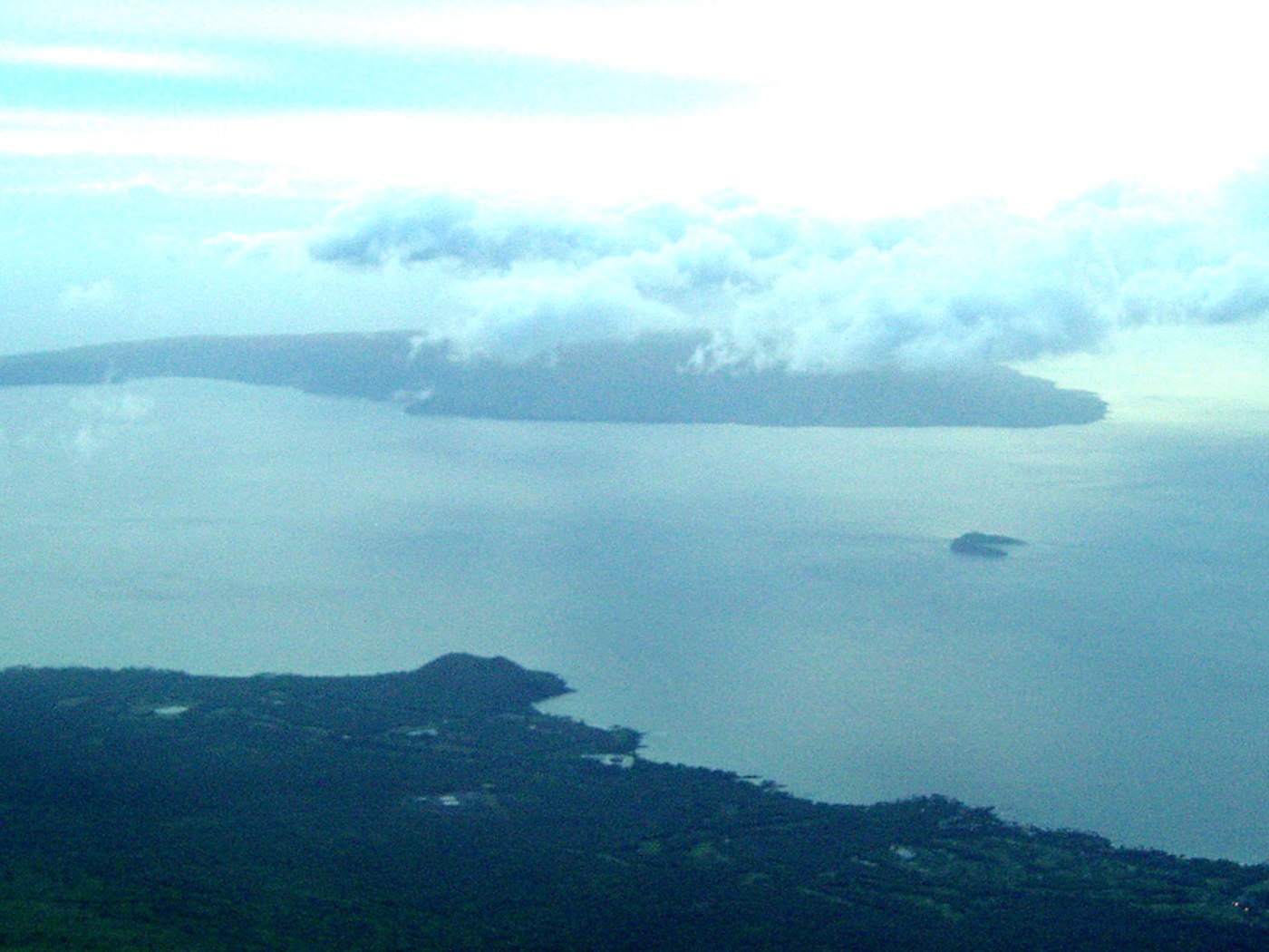
- Open horizonThe interisland setting helps explain nineteenth-century ranch shipping.
- Dry uplandsHonuaʻula’s ranch and dryland-farming story connects directly to the coast.
- Busy shoreModern recreation reflects regional population and tourism growth.
- Signs and boundariesDifferent County and State areas have different rules; follow posted management rather than assumptions.
Related Maui history & tours
Follow the connections
Continue with the places and experiences that share this chapter’s roads, water, communities, or working landscapes.
Continue the series
Follow Honuaʻula from ranch slopes to lava coast
Upcountry ranches and Keoneʻōʻio show where cattle, roads, and a much older Hawaiian coastal landscape continued beyond Mākena.
Research notes
Sources & further reading
The page distinguishes the historic landing and old launch from current facility status. State and County records were checked August 20, 2026 and do not establish legal motorized launching here; access and amenities require a same-day recheck.
- Hawaiʻi Board on Geographic Names: official Maui spellings (PDF) (opens in a new tab)
- Wehewehe Wikiwiki: Mākena place-name entry (opens in a new tab)
- County of Maui: South Maui Community Plan cultural and policy recommendations (PDF) (opens in a new tab)
- State of Hawaiʻi: Honuaʻula environmental and cultural history (PDF) (opens in a new tab)
- United States Department of State: 1879 report on Hawaiian ports and landings (opens in a new tab)
- State of Hawaiʻi: Rose Ranch and Mākena Landing historical appendix (PDF) (opens in a new tab)
- State of Hawaiʻi: ʻĀhihi-Kīnaʻu historical assessment (PDF) (opens in a new tab)
- State of Hawaiʻi: World War II road and access history (PDF) (opens in a new tab)
- State of Hawaiʻi: 1979 Kīhei boat-ramp alternatives study (PDF) (opens in a new tab)
- State of Hawaiʻi: 1982 Mākena Road study documenting the small launch (PDF) (opens in a new tab)
- County of Maui: shoreline-access inventory (PDF) (opens in a new tab)
- DLNR: Maui boating-facility list (opens in a new tab)
- County of Maui: planning record documenting that motorized small-boat launching at the old ramp is illegal (PDF) (opens in a new tab)
- County of Maui: historic Kīhei–Mākena Community Plan (PDF) (opens in a new tab)