
Maui History Series · North Shore
Māliko Bay: A Landing, a Lifeline, and a Community Restoring It
A deep gulch, an open roadstead, plantation rail, an exposed launch, and community stewardship meet at one narrow North Shore bay.
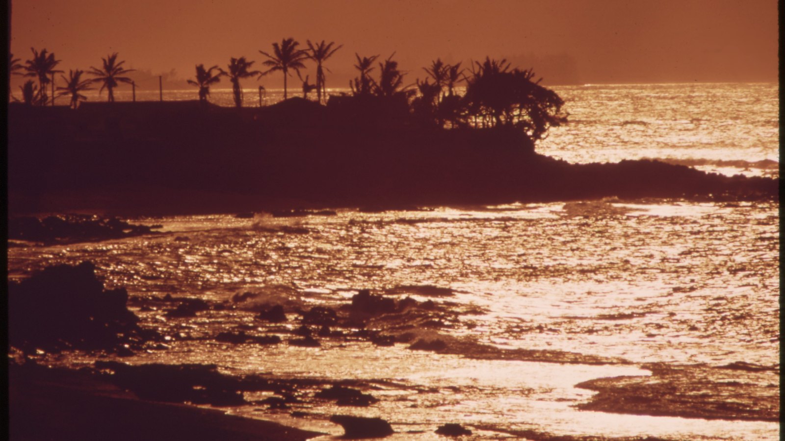
Follow Māliko through timePhoto: Charles O’Rear / U.S. EPA, National Archives (NAID 554074) source (opens in a new tab) · use unrestricted per NARA rights record (opens in a new tab) · cropped and resized
Fresh water, land, and ocean meet
The bay existed long before the concrete launch
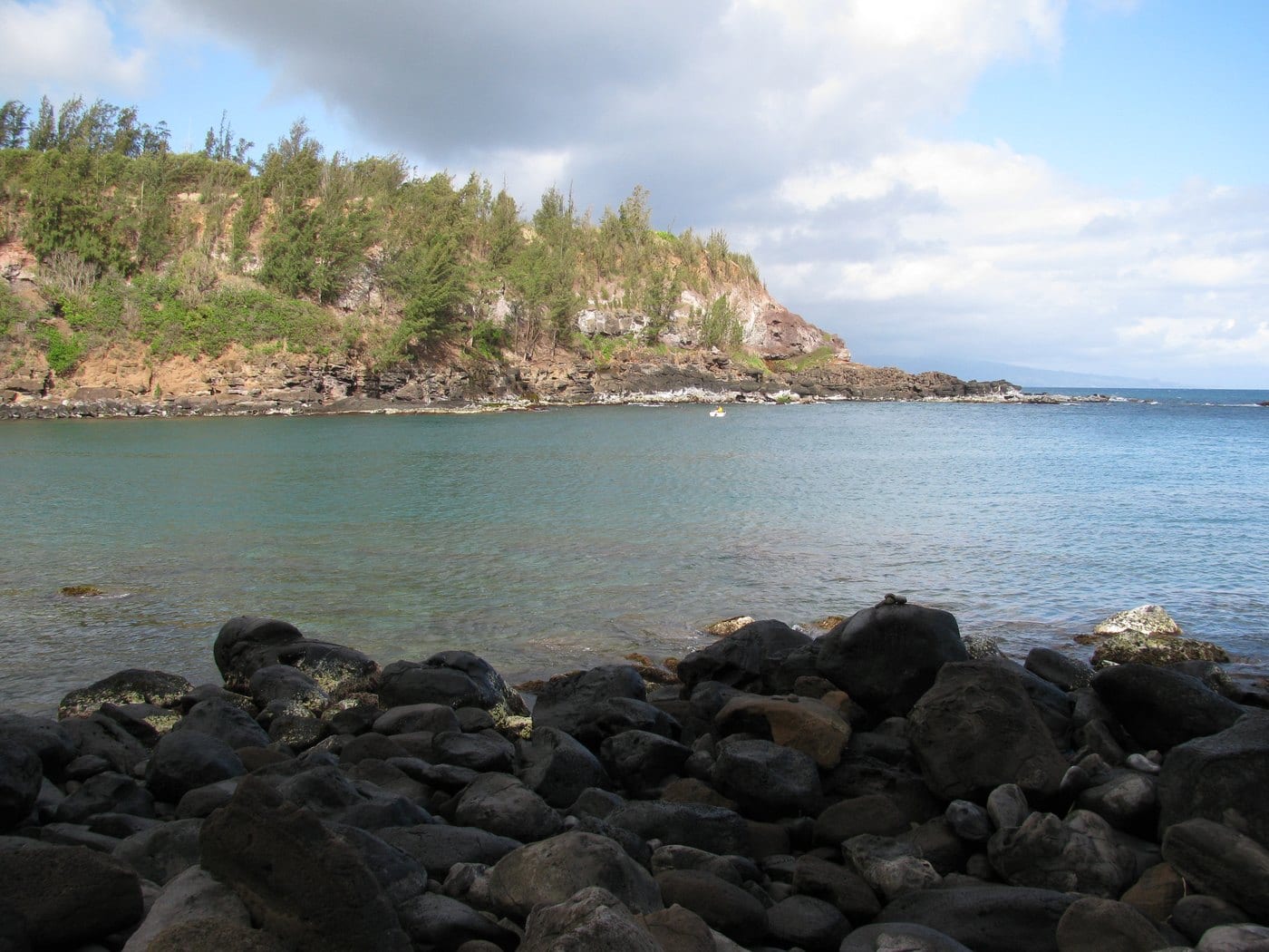
Māliko lies at the bottom of a deep gulch and marks the traditional boundary between Hāmākuapoko to the west and Hāmākualoa to the east. County cultural research connects the name Māliko with “budding,” an image suited to a place where water, land, and ocean meet.
The wider coast was a populated Hawaiian cultural landscape of irrigated kalo, fishing, landings, surfing, chiefly travel, and community life. This page keeps regional context distinct from claims about the exact modern ramp footprint and omits locations of sensitive sites.
Landing, plantation and railroad
An open roadstead becomes a gateway across plantation country
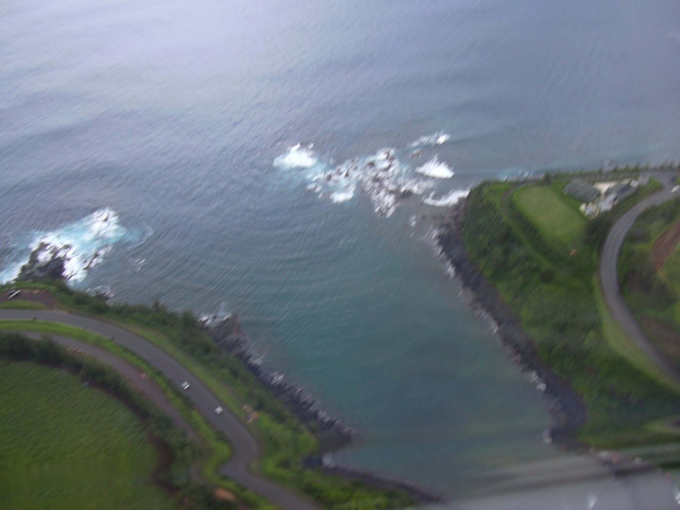
Māliko’s geography offered a landing but never the shelter of an engineered harbor.
The district was lived and worked before the ramp
County histories document Hawaiian agriculture, fishing, landings, surfing, aliʻi travel, and cultural places across Hāmākuapoko and Hāmākualoa. Those district histories establish continuity without turning the bay’s cultural landscape into a list of sites to locate.
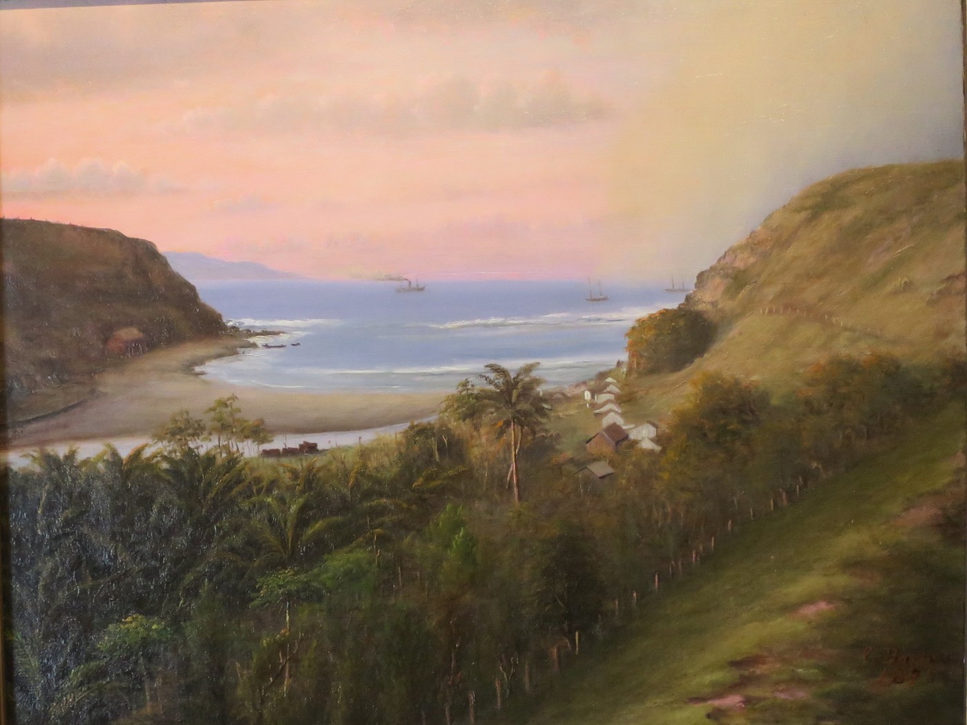
An 1879 United States report called Māliko an open roadstead with a good landing and anchorage. “Open roadstead” remains the key engineering fact: boats approached a coast exposed to swell rather than entering a breakwater-protected harbor.
Sugar and pineapple reshape the uplands
Large-scale sugar cultivation spread through Hāmākuapoko in the 1840s, followed by immigrant labor camps, mills, and rail lines. Plantation ownership changed land, water, settlement, and transportation above the bay.
In 1913, a railroad bridge approximately 250 feet high and 780 feet long crossed Māliko Gulch. The extension connected Haʻikū pineapple production with Kahului’s wharves and made the gulch a spectacular link in Maui’s plantation-transport network.
-
Before plantation development
District communities connect land and sea
Agriculture, fishing, landings, surfing, and travel shape the wider coast.
-
1840s
Large-scale sugar expands
Plantation land and water systems transform Hāmākuapoko.
-
1879
Māliko is recorded as an open roadstead
A federal report notes a landing and anchorage without harbor protection.
-
1913
The railroad spans the gulch
Haʻikū pineapple traffic gains a direct rail link toward Kahului.
Postwar launch and community stewardship
A small ramp inherits the bay’s exposure
Plantation systems faded, recreation grew, and storm damage turned public access into a community-restoration question.
Postwar land use changes after the plantation rail era
Rail and plantation-camp systems declined after World War II. Agricultural villages changed, homes moved or consolidated, and the North Shore gradually took on more residential and recreational roles.
Federal field researchers documented a cement boat ramp by the mid-1980s, and a County inventory recorded one ramp in 2001. Recent reporting dates construction to the 1970s, but no government construction record fixing one exact year was found.
Exposure limits the ramp even when concrete survives
State planning documents describe Māliko as much smaller than Kahului’s protected facility and frequently impaired by large swell, inclement weather, or heavy rain that makes the dirt access road difficult.
That limitation is structural, not a temporary inconvenience. A good day at the bay cannot prove safe launching tomorrow.
March 2026 damage begins another chapter
A longtime launch user quoted in July 2026 local reporting attributed the loss of roughly half the ramp to March kona-low conditions. This is a dated eyewitness account, not an engineering causation finding. By July, Nā Maka o Māliko—an organization including lineal descendants and area residents—was coordinating restoration of the surrounding eleven-acre area with County support.
The group uses the phrase E hoʻi i ka nani i Māliko—“Let glory return to Māliko”—for its work. That effort treats emergency access, cleanup, culture, and community stewardship as connected rather than reducing the project to concrete repair.
-
1970s–80s
A concrete launch enters the record
Local and federal records establish a period, not one verified construction year.
-
2001
County inventory records one ramp
The facility remains far smaller and more exposed than Kahului’s launch.
-
March 2026
A longtime user reports major launch loss
July local reporting attributes the damage to March kona-low conditions; no engineering causation finding was located.
-
2026
Community restoration advances
Nā Maka o Māliko coordinates stewardship and recovery work.
What guests can understand
Read the bay’s exposure without testing it
The broad landscape provides context even when the ramp itself should not be approached or used.
- Narrow entranceIt concentrates the contrast between a sheltered-looking gulch and open North Shore surf.
- High bridgeModern highway and older rail history both respond to the depth of Māliko Gulch.
- Runoff pathThe gulch carries upland rainfall toward a small coastal access point.
- Restoration workBarriers, cleanup, and repairs are current stewardship—not an invitation to enter.
Related Maui history & tours
Follow the connections
Continue with the places and experiences that share this chapter’s roads, water, communities, or working landscapes.
Continue the series
Follow North and East Maui transportation
Hāna Harbor and Hāna Airport show how remote East Maui communities connected working landings, roads, and air travel.
Research notes
Sources & further reading
As of August 20, 2026, no authoritative site-specific operational or reopening notice was located. The current-condition section relies on clearly attributed local reporting and does not represent the launch as operational.
- Hawaiʻi Board on Geographic Names: official Maui spellings (PDF) (opens in a new tab)
- County of Maui: Paʻia-Haʻikū Community Plan (PDF) (opens in a new tab)
- County of Maui / Kumu Pono Associates: Maui Hikina cultural and place-name research (PDF) (opens in a new tab)
- State of Hawaiʻi: Māliko railroad-bridge history (PDF) (opens in a new tab)
- United States Department of State: 1879 report on Hawaiian ports and landings (opens in a new tab)
- DLNR: Maui boating-facility list (opens in a new tab)
- County of Maui: public-facilities inventory (PDF) (opens in a new tab)
- State of Hawaiʻi: trailered-vessel facility assessment (PDF) (opens in a new tab)
- Hawaii News Now: July 2026 Māliko storm damage and restoration report (opens in a new tab)
- Nā Maka o Māliko: community stewardship mission (opens in a new tab)
- County of Maui: Māliko restoration grant documentation (PDF) (opens in a new tab)