
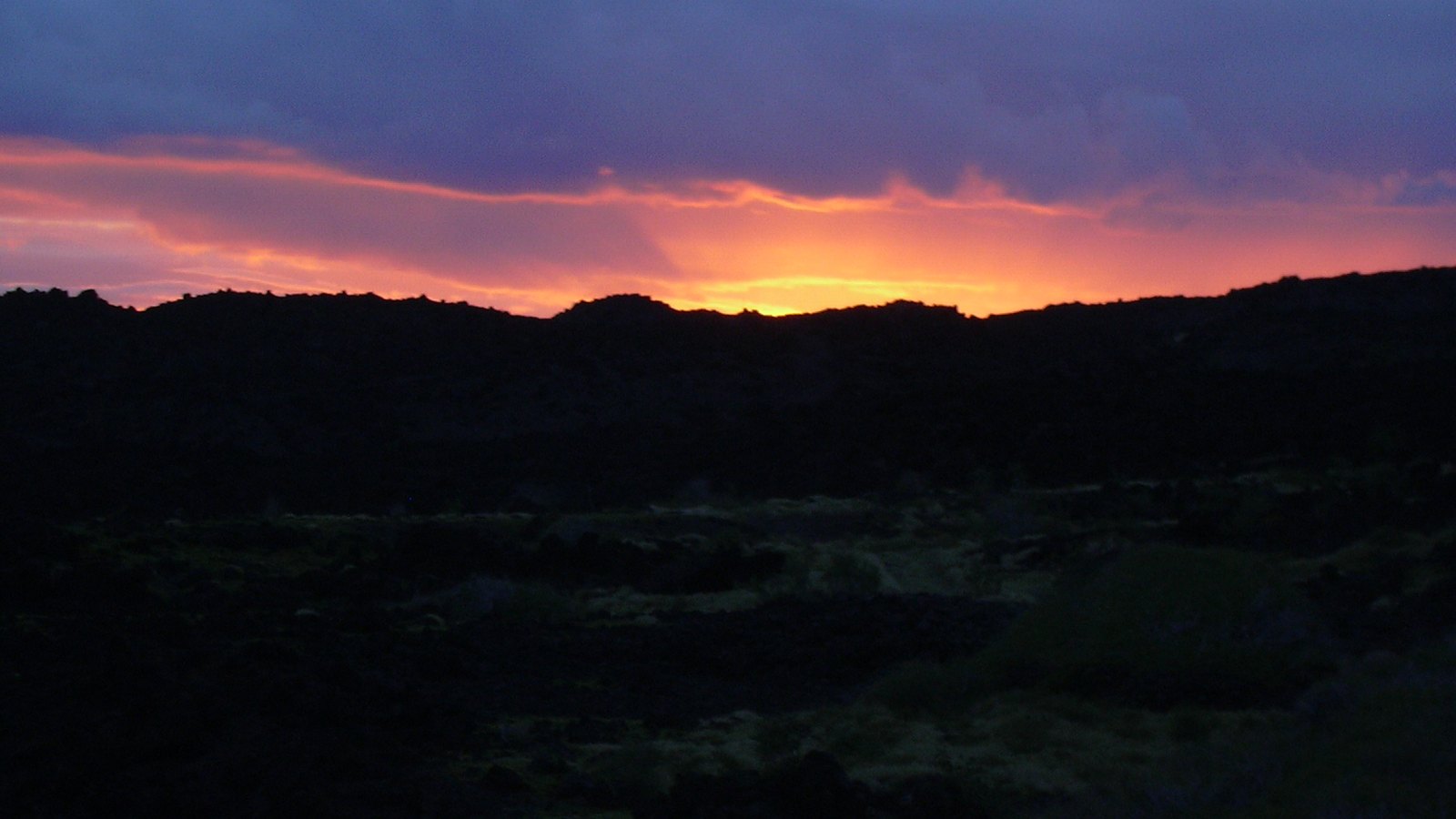
Maui History Series · Southeast Maui
Kanaio Coast: Trails, Dryland Farms and a Living Cultural Landscape
Kanaio is not an empty lava shore. Fishing settlements, dryland fields, trails, ranches, military use, and forest restoration each belong to its history.
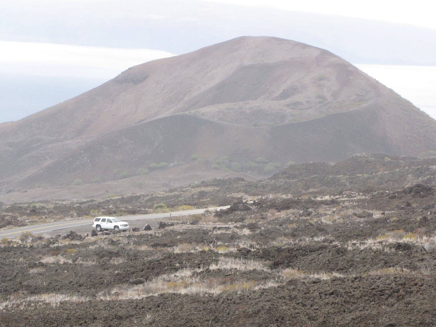
Follow the coast through timePhoto: Forest & Kim Starr source (opens in a new tab) · CC BY 3.0 US license (opens in a new tab) · cropped and resized
A coast connected from makai to mauka
Lava did not separate shoreline life from upland fields
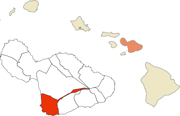
Across the ahupuaʻa of Kanaio, Kaloʻi, Kaunuahane, and Papaka Kai, Native Hawaiian communities linked fishing settlements with dryland fields through coastal and mauka-makai trails. Families fished, gathered shoreline foods, used brackish wells and submarine springs, and cultivated ʻuala, uhi, and dryland kalo.
Later ranching, military training, roads, and conservation changed how this land was used. Those layers did not erase the cultural landscape beneath them, and they do not make archaeological or protected land available for casual exploration.
Settlement, farming and trails
Communities worked a dry landscape through connection and knowledge
Coast, kīpuka, upland fields, and paths formed one system rather than isolated dots on a modern map.
Fishing settlements and fields formed one lived landscape
State research documents shoreline communities at Alaha-Wahene and Waiailio, with other residences distributed along the coast. In the 1920s, Winslow Metcalf Walker recorded fifteen house foundations in the former Waiailio settlement landscape, together with pens, canoe sheds, and enclosures.
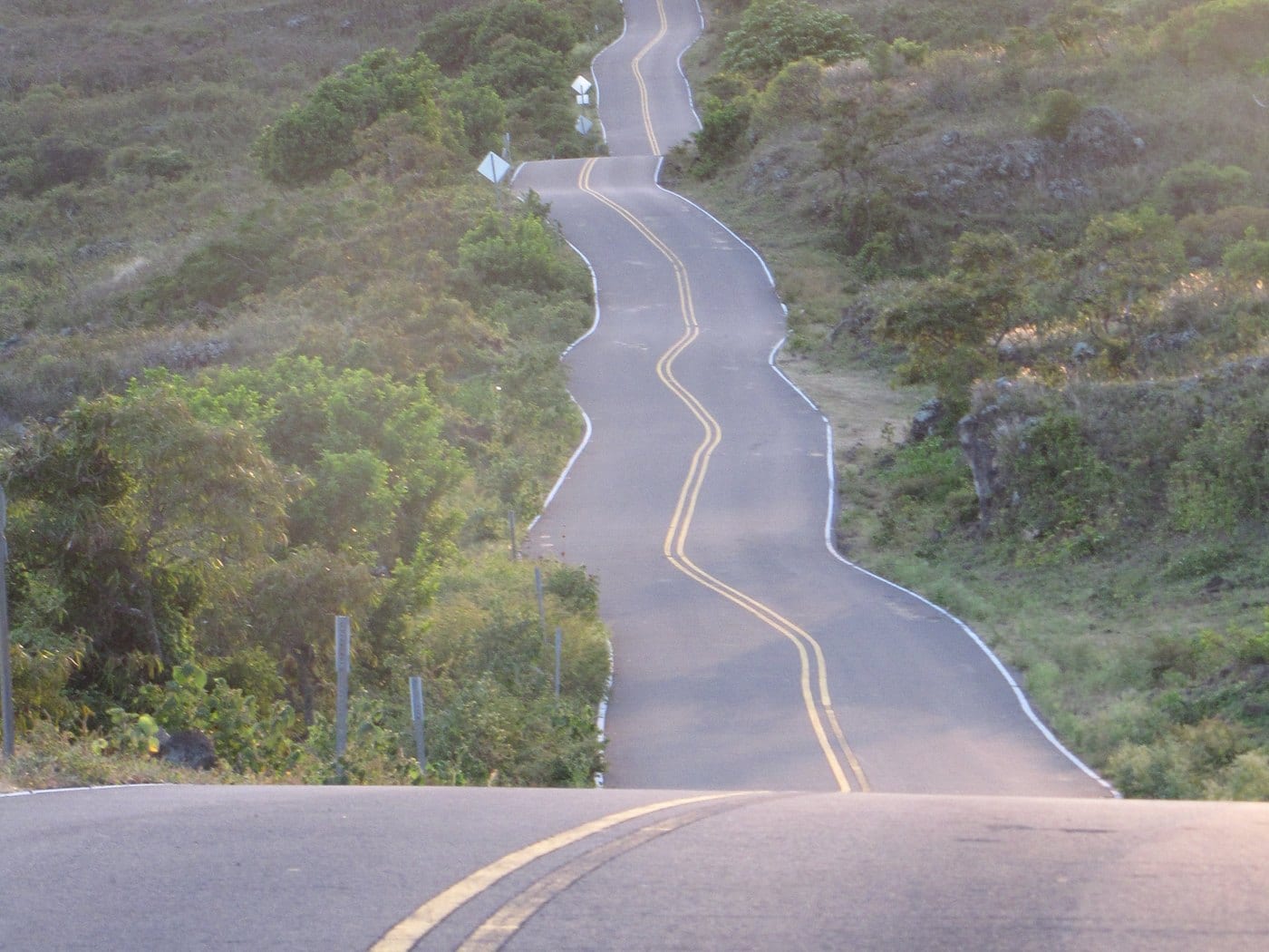
Coastal ala kahakai connected settlements, while ala piʻi joined the shore to upland cultivation. Older-soil kīpuka inside younger lava created valuable planting ground. These relationships matter more than turning any one feature into a visitor stop.
Hoapili-era work added to older trail systems
Governor Hoapili ordered coastal road work in the 1840s to connect Honuaʻula and Kaupō. State assessment says the route may roughly follow an older coastal ala loa; Piʻilani Highway may likewise correspond with older inland travel.
Calling the surviving route only a recreational “King’s Highway” collapses multiple periods into one nickname. Older Hawaiian paths, nineteenth-century government work, ranch routes, and later roads overlap.
-
Traditional era
Coast and uplands work together
Fishing communities, dryland agriculture, and trails connect makai and mauka.
-
1840s
Road and ranch layers expand
Hoapili-era work crosses older travel country as cattle ranching grows.
-
1920s
Waiailio is documented
Walker records foundations and working features at the former shoreline settlement.
Ranch, military use and restoration
Twentieth-century impacts changed the land—and its management
Ranching, live-fire training, unexploded ordnance, wildfire, invasive species, and conservation remain connected parts of the modern record.
Ranching became the dominant nineteenth-century economy
Cattle ranching expanded from the 1840s. Kahikinui, ʻUlupalakua, Haleakalā, and Kaupo Ranch grazed land within what later became the Kanaio Forestry and Wildlife Area.
This is a ranching story rather than a major plantation-sugar story. Grazing changed vegetation, fences, water use, labor, and movement across the landscape.
World War II training left a long safety legacy
The U.S. Army and Marine Corps used portions of Kanaio for live-fire training during World War II. In 1965, the Hawaiʻi Army National Guard established the approximately 4,707-acre Kanaio Training Area; later military cleanup documents define a somewhat broader munitions-response site, so the figures should not be treated as one identical boundary.
High-explosive exercises were permanently suspended in 1981 and the site was inactive by 2003. Investigations and removal actions followed, but posted military-safety fencing and marked-route rules remain essential. Never touch suspected ordnance.
A protected dry forest becomes the next chapter
Kanaio Natural Area Reserve was established in 1991. Its 1,514 acres protect remnant dryland forest and rare species within a broader management landscape affected by invasive ungulates, wildfire, illegal off-road travel, and past military use.
Restoration is not a return to an untouched past. It is active stewardship in a landscape with continuing Native Hawaiian cultural meaning and several centuries of documented change.
-
World War II
Live-fire training begins
Army and Marine Corps use introduces a military-impact layer.
-
1965
National Guard training area established
A formal training area follows earlier wartime use.
-
1981
High-explosive exercises stop
Military investigations and removal work continue after training changes.
-
1991
Natural Area Reserve established
Dryland forest protection becomes a formal State priority.
What guests can understand
Read the visible landscape without treating it as open ground
Public roads and authorized overlooks reveal history without entering cultural sites, protected habitat, military-safety zones, or private property.
- KīpukaPockets of older surface and soil help explain dryland cultivation amid younger lava.
- Road layersModern pavement crosses country once connected by coastal and mauka-makai trails.
- Fence linesThey can mark ranch, conservation, private-property, or military-safety boundaries; obey all of them.
- Dry forestProtected remnant habitat records both environmental loss and active restoration.
Related Maui history & tours
Follow the connections
Continue with the places and experiences that share this chapter’s roads, water, communities, or working landscapes.
Continue the series
Follow Honuaʻula from ranch slopes to lava coast
Upcountry Ranches and Keoneʻōʻio explain adjacent economic, transportation, and conservation layers.
Research notes
Sources & further reading
This chapter relies on official State cultural, natural-resource, military, County storm, and place-name records. It omits sensitive-site locations and dates access guidance to August 20, 2026.
- State of Hawaiʻi: Kanaio Forestry and Wildlife Area Draft EA (PDF) (opens in a new tab)
- DLNR: Kanaio Natural Area Reserve (opens in a new tab)
- DLNR: leeward Haleakalā restoration and pedestrian-access context (opens in a new tab)
- Hawaiʻi Department of Defense: Kanaio RI/FS report (PDF) (opens in a new tab)
- U.S. Department of Defense: Kanaio operational-range assessment (PDF) (opens in a new tab)
- Hawaiʻi Board on Geographic Names: official Maui place names (PDF) (opens in a new tab)
- County of Maui: March 2026 Piʻilani Highway closure near Nuʻu Landing (opens in a new tab)
- County of Maui: March 2026 storm-related water disruption extending to Kanaio (opens in a new tab)
- County of Maui: current emergency road notices (opens in a new tab)
- Hawaiʻi Trails: live State trail closures and notices (opens in a new tab)